


- News
- E-mail list
- Signup for our newsletter
- Stentec news
- News
- Developers Blog
- WinGPS
- WinGPS series
- WinGPS versions
- WinGPS specifications
- For Windows
- WinGPS Lite
- WinGPS Navigator
- WinGPS Pro
- WinGPS Voyager
- For Android
- WinGPS Marine
- WinGPS Marine Plus
- WinGPS Smartwear
- For iOS
- Apps for iOS
- WinGPS Marine
- WinGPS Marine Plus
- DKW 1800 series
- Vaarkaart Friese Meren
- Service and upgrades
- Service Subscriptions
- WinGPS Yacht Navigator
- WinGPS trackpilot
- Charts
- Chart overview
- DKW Inland waters
- DKW The Netherlands
- DKW Friese meren
- DKW Amsterdam
- DKW Biesbosch
- DKW Belgium
- DKW Northern France
- DKW Southern France
- DKW Northeast Germany
- DKW Northwest Germany
- DKW Southwest Germany
- DKW Rhine and Moselle
- DKW Danube 1-West
- DKW Danube 2-Central
- DKW Danube 3-East
- DKW Coastal waters
- DKW 1800 series
- DKW 1600+
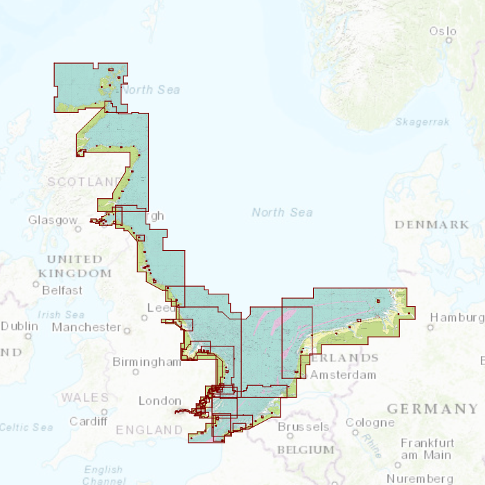
- DKW UK1 English & Scottish Eastcoast
- DKW German Bight
- DKW German Baltic coast
- DKW Imray series
- DKW Delius Klasing series
- NV-Verlag series
- Exclusive for Android
- Subscription - DKW the Netherlands
- Chart apps
- Other
- Hardware
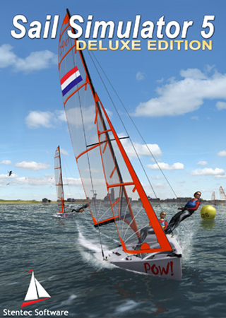
- Simulators
- Shop
- Downloads
- Support
- Downloads
- Help pages
- Documentation
- System Requirements
- Availability GRIB files
- Frequently asked questions - FAQ
- WinGPS 5
- WinGPS Marine (Android)
- WinGPS Marine (iOS)
- Installation help
- WinGPS 5 (Windows)
- WinGPS Marine (Android)
- Tips
- Offline installation DKW charts (Windows)
- Installation ENC charts (Windows)
- Connecting SD card (Android)
- NV Verlag charts
- Offline NOAA Charts
- Download TeamViewer
- Contact
- Contactform - Helpdesk
- Callback Service
- Commercial Shipping
|
|
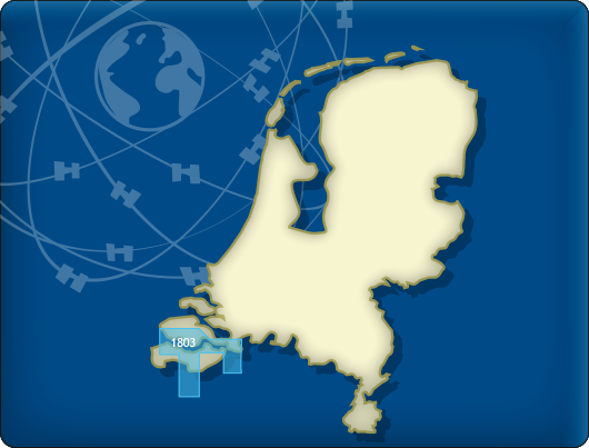
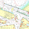
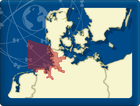
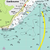
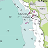
DKW 1803 Westerschelde
The DKW 1803 is no longer published by the Hydrographic Service. As alternatives for this area, we offer:
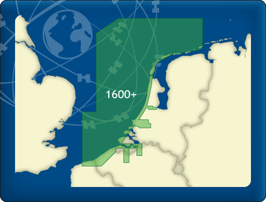
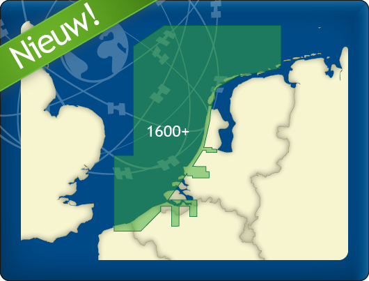
DKW 1600+ North Sea Coast Netherlands
DKW The Netherlands
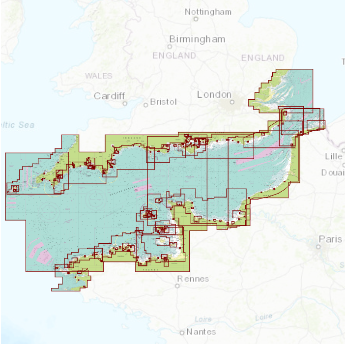
Below you will find these and other chart products.
Alternative and connecting DKW charts
Click on an image for more information.
|
DKW 1800 Complete |
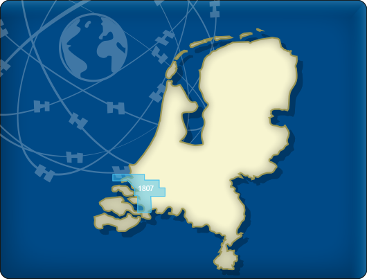
DKW 1805: |
DKW 1807: |
|
DKW 1600+: |
DKW The Netherlands |
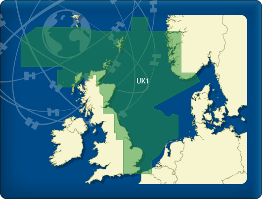
DKW UK1 |

|
|
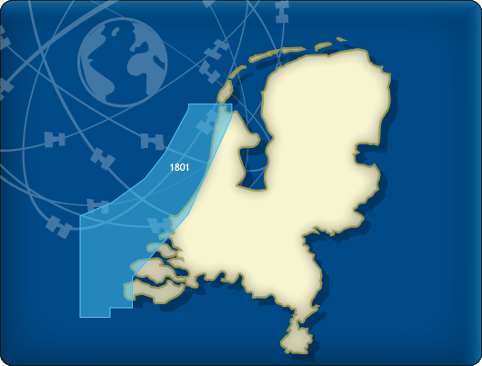
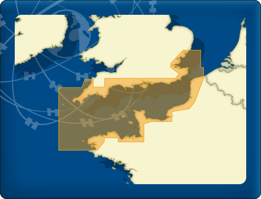
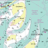
DKW 1801 North Sea coast
The DKW 1801 is no longer published by the Hydrographic Service. As an alternative for this area, we offer:
DKW 1600+ North Sea Coast Netherlands
Below you will find this and other chart products.
Alternative and connecting DKW charts
Click on an image for more information.
|
DKW 1800 Complete |
DKW 1805: |
DKW 1807: |
|
DKW 1600+: |
DKW The Netherlands |
DKW UK1 |
|
|

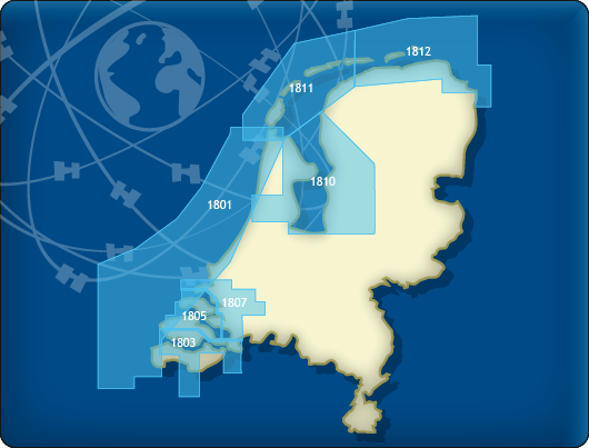
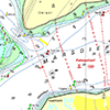
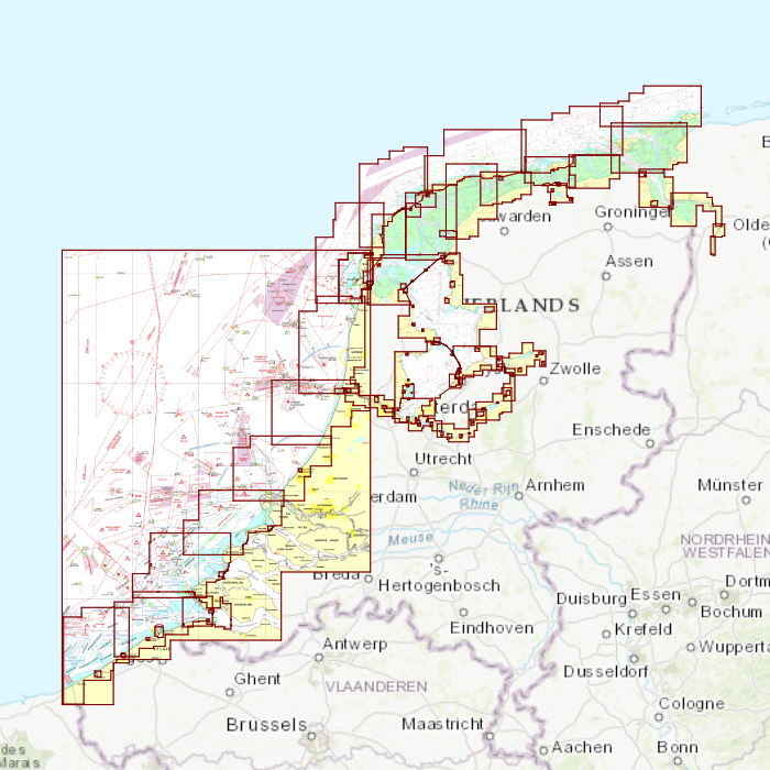
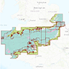
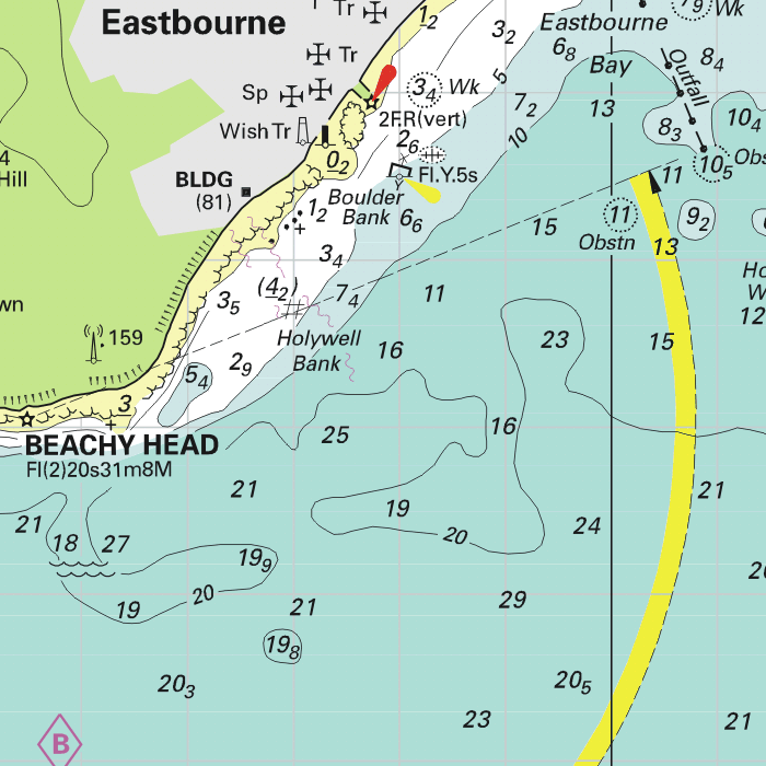
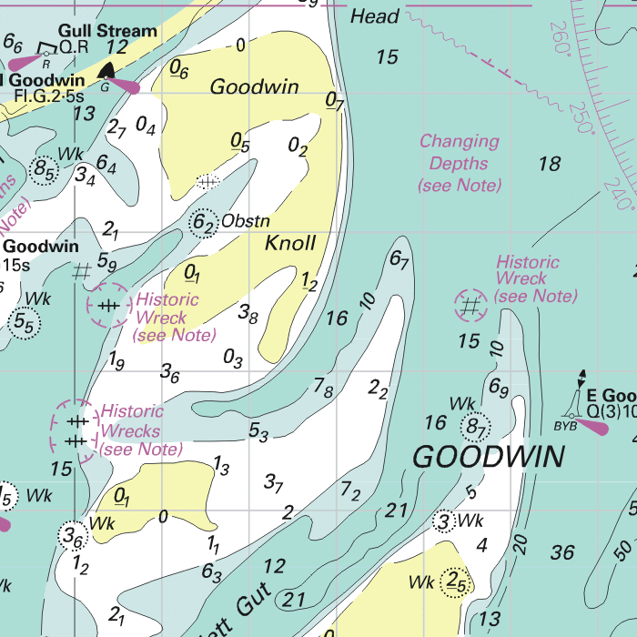
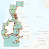
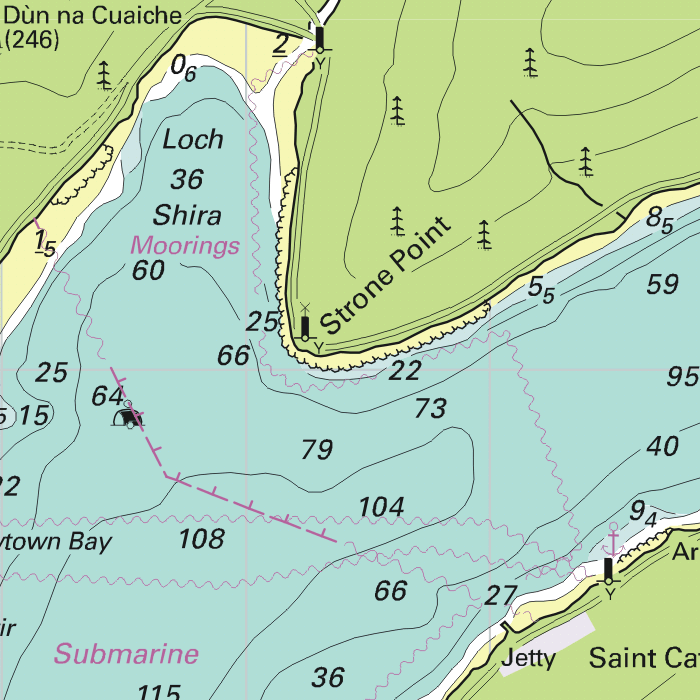
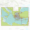
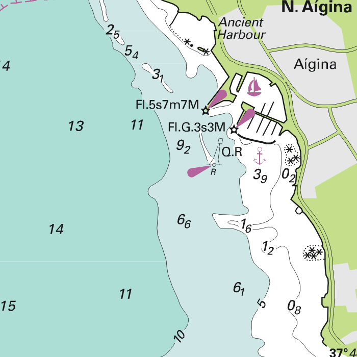
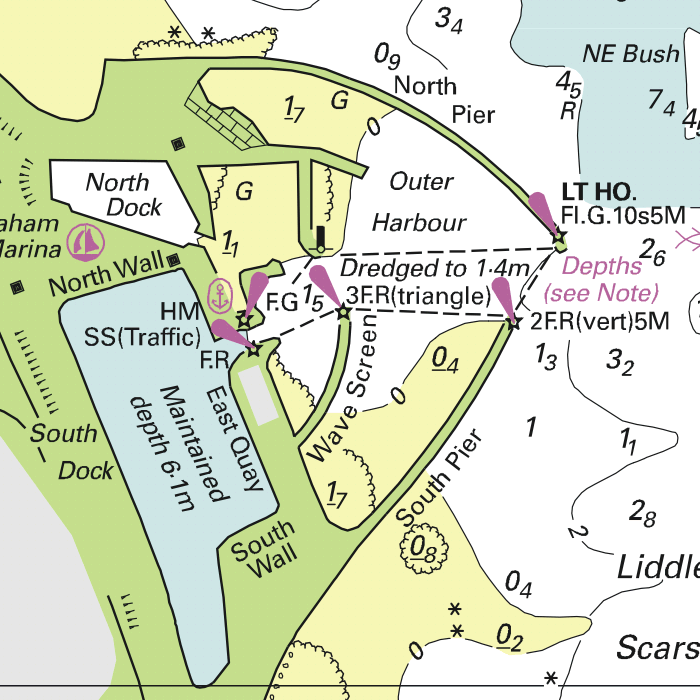
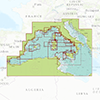
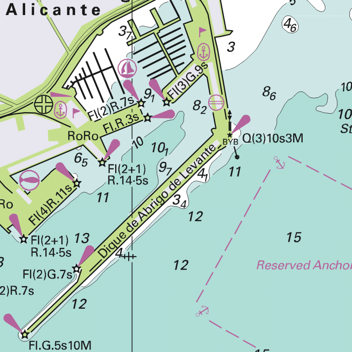
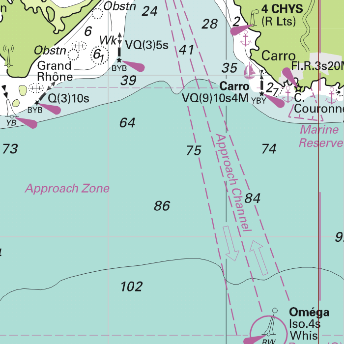
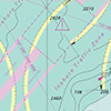
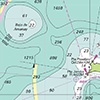
DKW 1800 North
Clear digital chart set for IJsselmeer and Wadden Sea
Navigate the IJsselmeer and Wadden Sea with confidence using this complete chart set (DKW 1811, 1812 and 1820). The familiar DKW chart style provides instant clarity, precise depth information and reliable detail for both recreational and professional navigation.
Automatic weekly NtM updates
With DKW 1800 North you are always up to date. The charts automatically receive the latest Notices to Mariners (NtM) each week via WinGPS. All changes in buoyage, depths and fairways are processed directly in the maps, so you sail safely and current without any extra effort.
The Waddensea charts DKW 1811 and DKW 1812 are supplied with monthly updated depth marks from Rijkswaterstaat. Great when sailing on the tidal waters of the Wadden Sea.
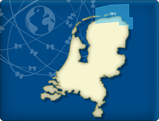
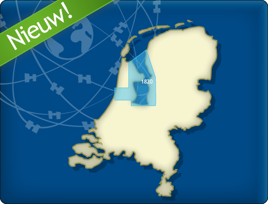
Covering area
The following DKW1800 series are included in this set:
- DKW 1820 IJsselmeer: Markermeer, Ketelmeer and Noordzeekanaal
- DKW 1811 Wadden Sea West: Wadden Sea West and adjourning North Sea coast
- DKW 1812 Wadden Sea East: Wadden Sea East and adjourning North Sea coast

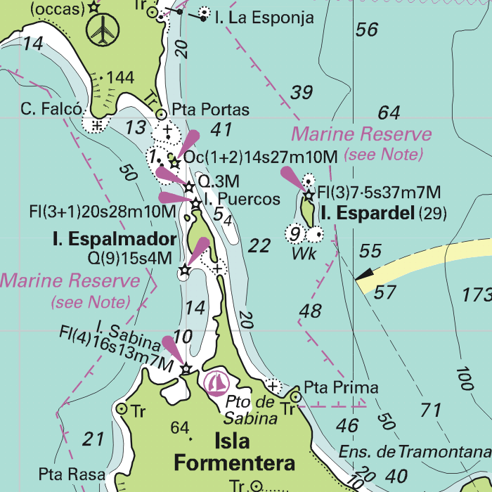
Depth image
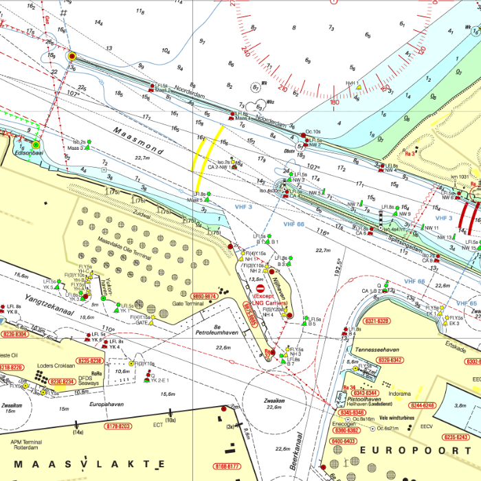
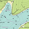
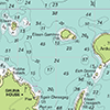
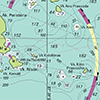
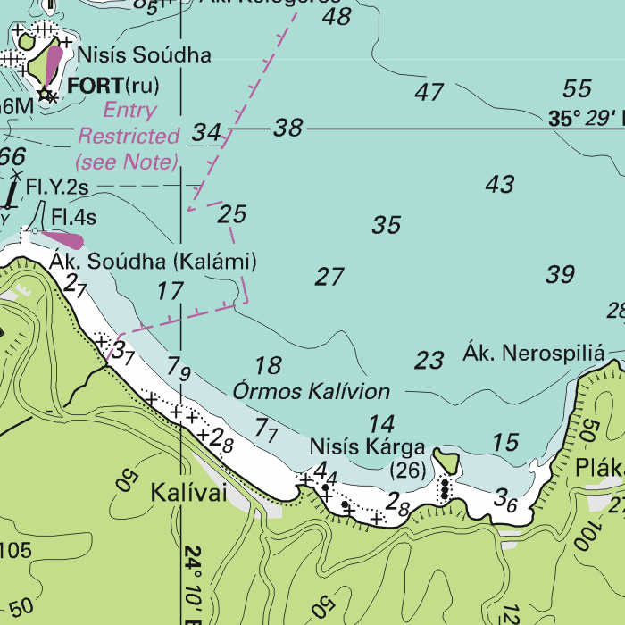
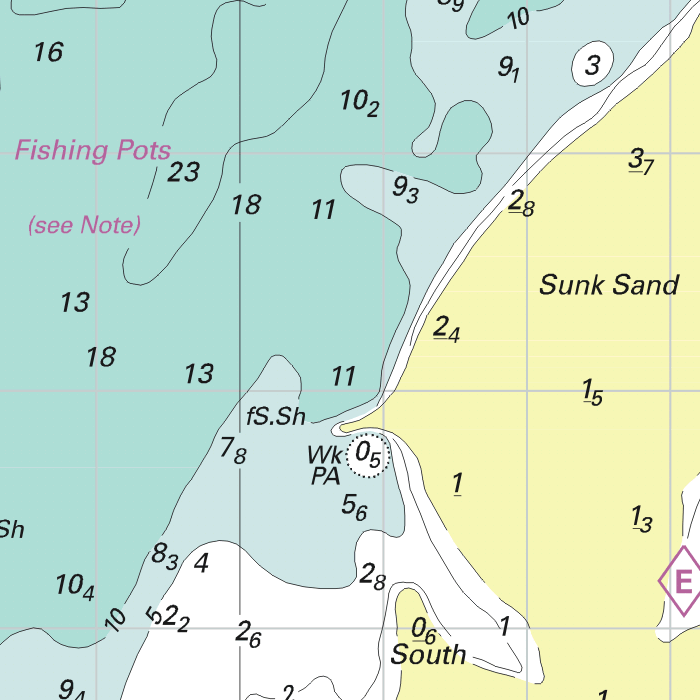
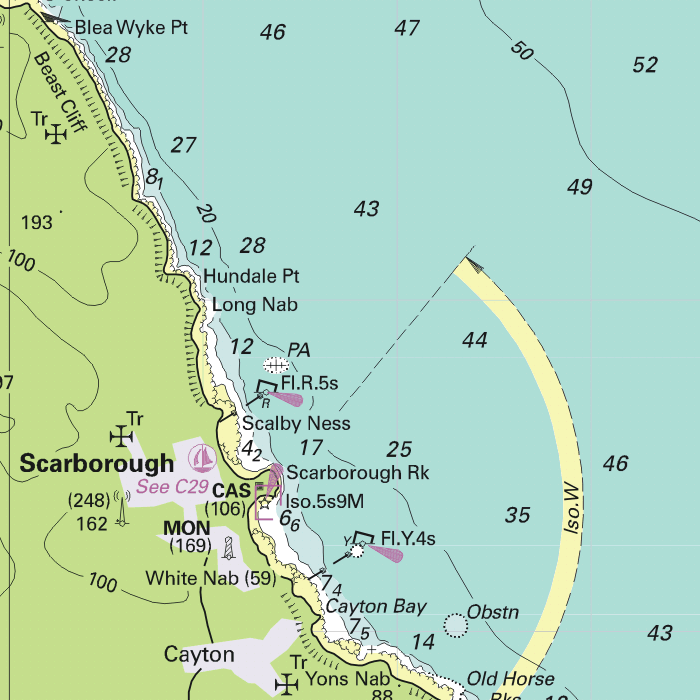
The DKW 1800 series contains a clear depth image and is the same as the well known paper version of the 1800 charts. Deep water is white and shallows are shown in different colors.
Stentec publishes the DKW 1800 series annually. The data is provided by the Dutch hydrographic service and the free weekly updates are based on the 'BaZ - Berichten aan Zeevarenden' (NtM - Notices to Mariners). User remarks are also screened and added to the charts which makes these chart sets the most up-to-date chart for the Dutch coastal waters.
Chart image
The DKW 1800 series are comprised of raster charts. Because of this, the charts are an exact copy of the paper versions and you will see pixels when zoomed in to the maximum amount. The advantage of this is that all information, for example buoyage or shallows, are projected on the exact coordinates. When using vector charts a misleading image can show up when zooming in.
Connecting DKW charts
Click the image for more information.
|
DKW 1800 Complete |
DKW 1805: |
DKW 1807: |
|
DKW 1811: |
DKW 1812: |
DKW 1820: |

|
DKW 1600+ |
DKW Vaarkaart |
DKW UK1 |
|
DKW German |
DKW ID20 |
|
|
|
System Requirements: This chart can be used in WinGPS for Windows and can also be installed on the WinGPS Marine apps for Android and iOS. For accurate route planning with rotating chart and AIS you will need at least WinGPS Pro or the paid version of WinGPS Marine. Click here for more information about the WinGPS series. |
|
|
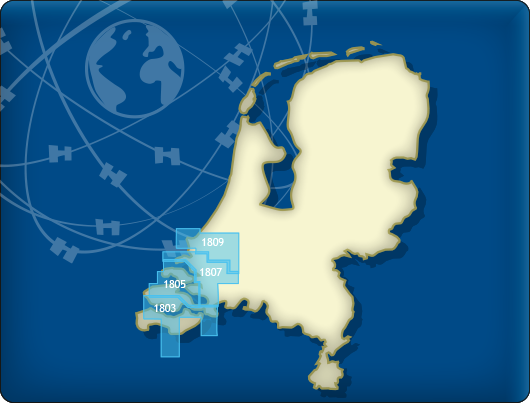
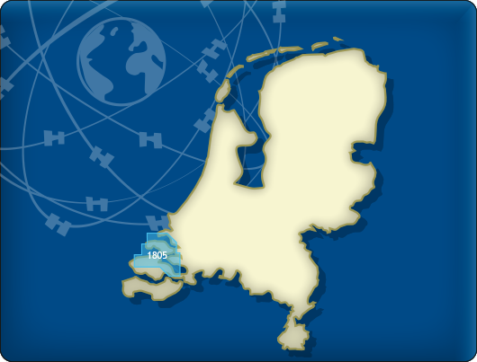
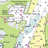
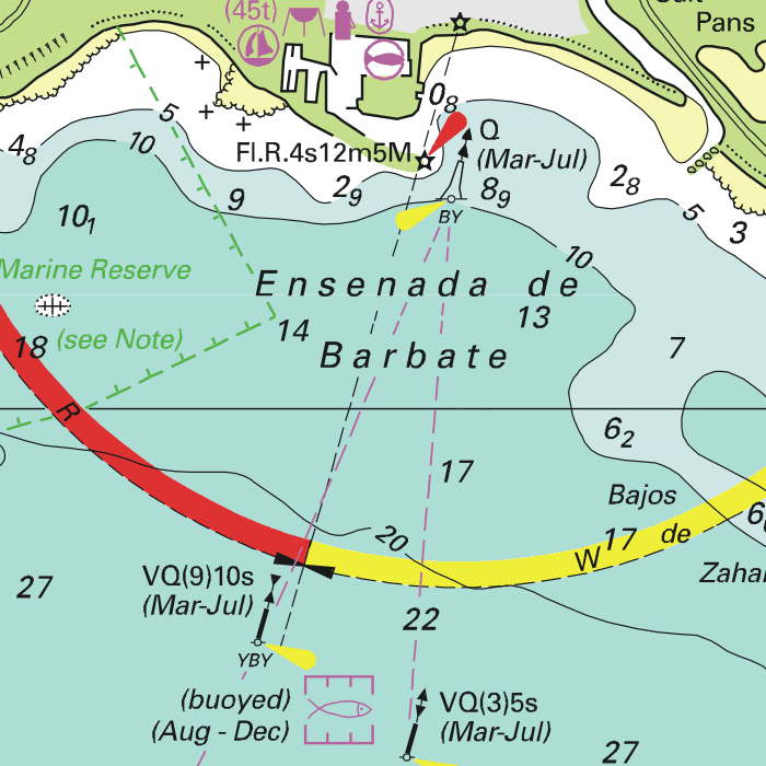
DKW 1800 South
This combined chart set is no longer available. Alternative charts are:
Our highly detailed inland waterway chart for the Netherlands.
This chart covers the Dutch North Sea coast, including the original areas of the 1803 Westerschelde and 1809 Rijnmond region.
Below you will find these chart products.
Alternative and connecting DKW charts
Click on an image for more information.
|
DKW 1800 Complete |
DKW 1805: |
DKW 1807: |
|
DKW 1600+: |
DKW The Netherlands |
|
|

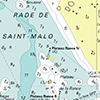
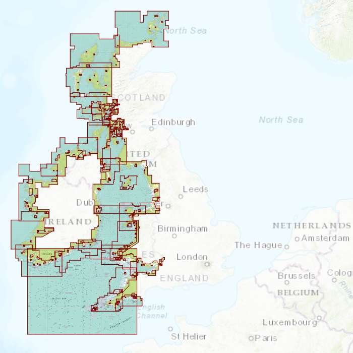
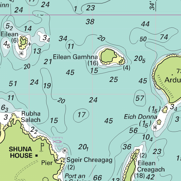
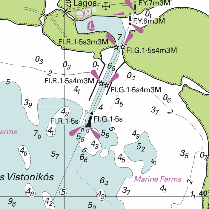
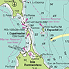
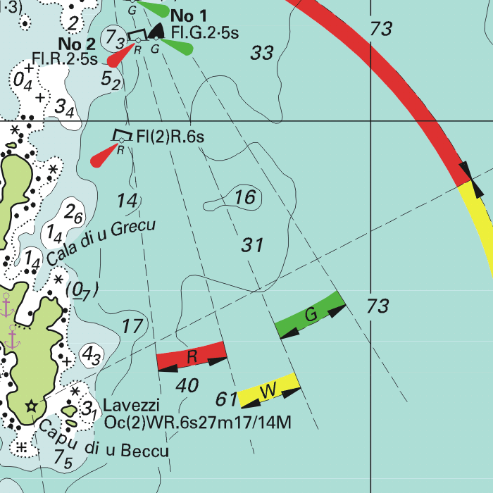
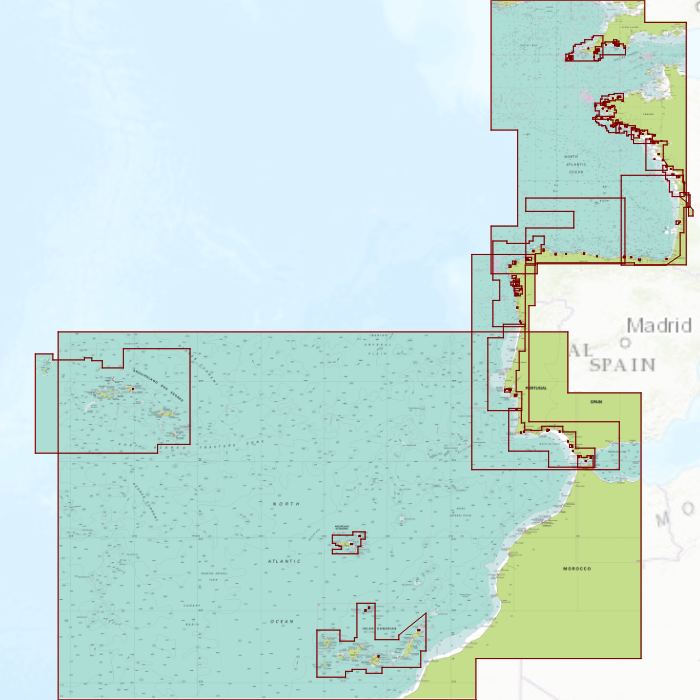
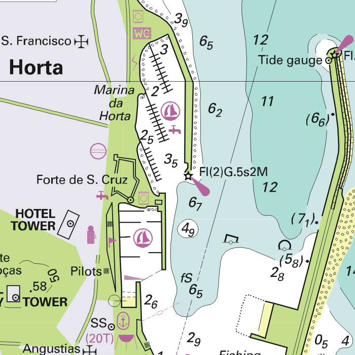
DKW ID20: English Channel
Since 2009 Stentec Software publishes the famous Imray charts digitally. These are based on the paper charts and feature the same well known Imray colors.
Covering area
The entire English Channel is covered. From the English coast from Dover up until the Isles of Scilly At the French coast from Douarnenez up until Dunkirk. Including detailed charts for the Channel Islands.

Depth image
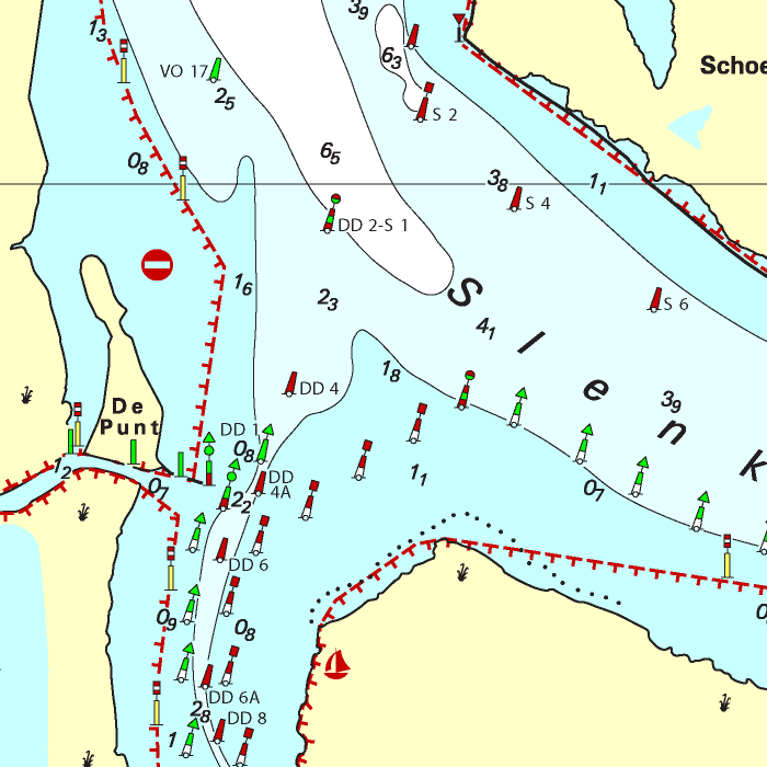
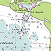
The depths are shown in the recognizable Imray colors: deep waters are blue and shallows are shown in whites. This configuration is the opposite of the DKW 1800, DKW German Bight and DKW English & Scottish Eastcoast.
Stentec publishes the DKW Imray series annually. All data is supplied by Imray. During the edition year 2 free updates are published in April and July, giving you the most up-to-date charts during your voyage.
Chart image
The DKW Imray series are comprised of raster charts. Because of this, the charts are an exact copy of the paper versions and you will see pixels when zoomed in to the maximum amount. The advantage of this is that all information, for example buoyage or shallows, are projected on the exact coordinates. When using vector charts a misleading image can show up when zooming in.
|
|
|
System Requirements: This chart can be used in WinGPS for Windows and can also be installed on the WinGPS Marine apps for Android and iOS. For accurate route planning with rotating chart and AIS you will need at least WinGPS Pro or the paid version of WinGPS Marine. Click here for more information about the WinGPS series. |
|
DKW 1800 Series |
DKW 1600+ |
DKW Northern France |

|
|
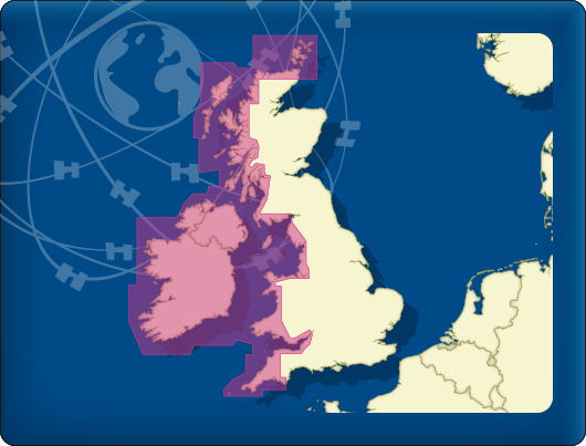
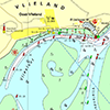
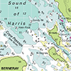
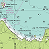
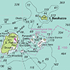
DKW ID30: British Westcoast & Ireland
Since 2009 Stentec Software publishes the famous Imray charts digitally. These are based on the paper charts and feature the same well known Imray colors.
Covering area
Ireland and the westcoast of Great Britain is covered. From the Orkney Islands up until Plymouth.

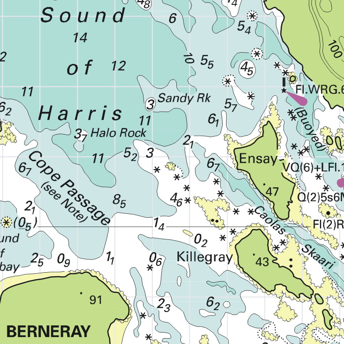

Depth image
The depths are shown in the recognizable Imray colors: deep waters are blue and shallows are shown in whites. This configuration is the opposite of the DKW 1800, DKW German Bight and DKW English & Scottish Eastcoast.
Stentec publishes the DKW Imray series annually. All data is supplied by Imray. During the edition year 2 free updates are published in April and July, giving you the most up-to-date charts during your voyage.
Chart image
The DKW Imray series are comprised of raster charts. Because of this, the charts are an exact copy of the paper versions and you will see pixels when zoomed in to the maximum amount. The advantage of this is that all information, for example buoyage or shallows, are projected on the exact coordinates. When using vector charts a misleading image can show up when zooming in.
|
|
|
System Requirements: This chart can be used in WinGPS for Windows and can also be installed on the WinGPS Marine apps for Android and iOS. For accurate route planning with rotating chart and AIS you will need at least WinGPS Pro or the paid version of WinGPS Marine. Click here for more information about the WinGPS series. |
|
|
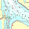
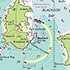
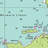
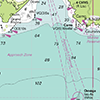
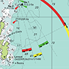
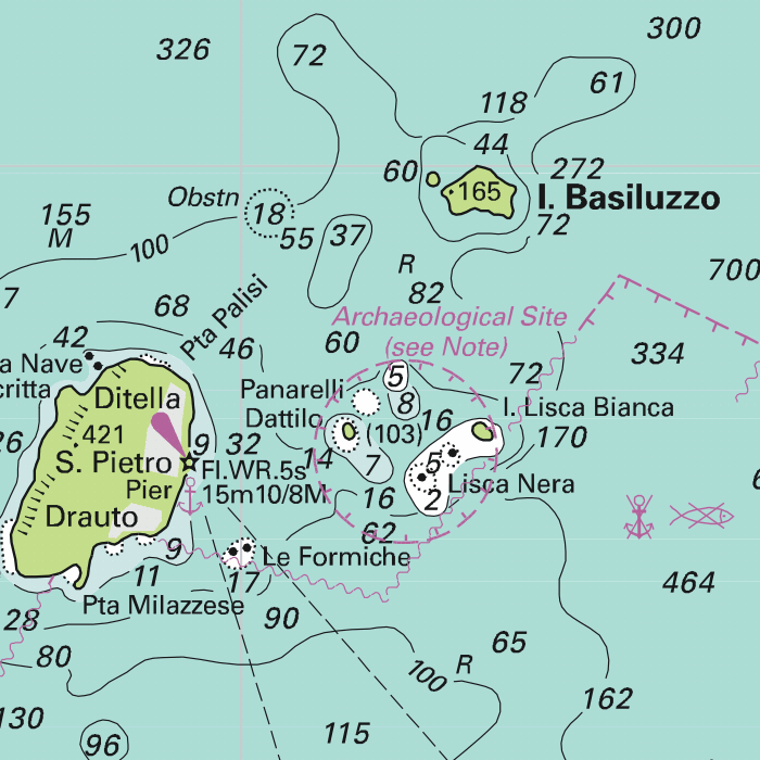
DKW ID70: Mediterranean East
Since 2009 Stentec Software publishes the famous Imray charts digitally. These are based on the paper charts and feature the same well known Imray colors.
Covering area
The Mediterranean coast on the Aegean Sea: the coast from Southeast Greece to the westcoast of Turkey.
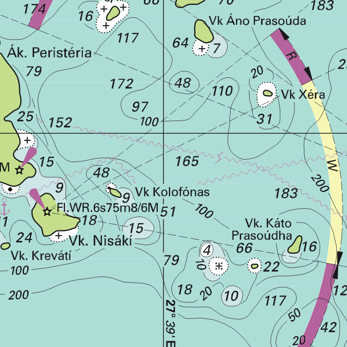
Depth image
The depths are shown in the recognizable Imray colors: deep waters are blue and shallows are shown in whites. This configuration is the opposite of the DKW 1800, DKW German Bight and DKW English & Scottish Eastcoast.
Stentec publishes the DKW Imray series annually. All data is supplied by Imray. During the edition year 2 free updates are published in April and July, giving you the most up-to-date charts during your voyage.
Chart image
The DKW Imray series are comprised of raster charts. Because of this, the charts are an exact copy of the paper versions and you will see pixels when zoomed in to the maximum amount. The advantage of this is that all information, for example buoyage or shallows, are projected on the exact coordinates. When using vector charts a misleading image can show up when zooming in.
|
|
|
System Requirements: This chart can be used in WinGPS for Windows and can also be installed on the WinGPS Marine apps for Android and iOS. For accurate route planning with rotating chart and AIS you will need at least WinGPS Pro or the paid version of WinGPS Marine. Click here for more information about the WinGPS series. |
|
|
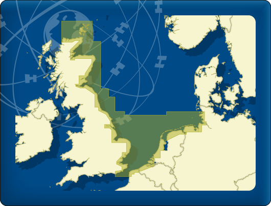
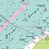
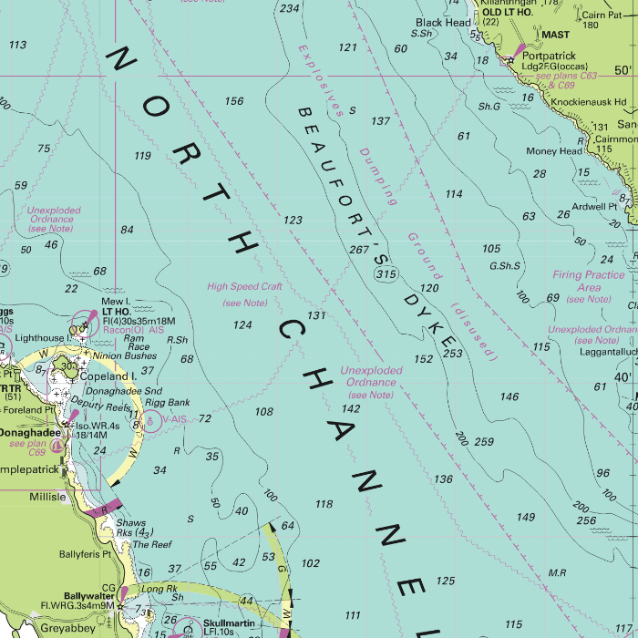
DKW ID10: English & Scottish Eastcoast
Since 2009 Stentec Software publishes the famous Imray charts digitally. These are based on the paper charts and feature the same well known Imray colors.
Covering area
From Dover up until the Orkney Islands, including passages to the Netherlands, Belgian and German coast. This chart set contains less details than the DKW UK1 English & Scottish Eastcoast. In particular on the Thames past London up until Teddington.


Depth image
The depths are shown in the recognizable Imray colors: deep waters are blue and shallows are shown in whites. This configuration is the opposite of the DKW 1800, DKW German Bight and DKW English & Scottish Eastcoast.
Stentec publishes the DKW Imray series annually. All data is supplied by Imray. During the edition year 2 free updates are published in April and July, giving you the most up-to-date charts during your voyage.
Chart image
The DKW Imray series are comprised of raster charts. Because of this, the charts are an exact copy of the paper versions and you will see pixels when zoomed in to the maximum amount. The advantage of this is that all information, for example buoyage or shallows, are projected on the exact coordinates. When using vector charts a misleading image can show up when zooming in.
|
|
|
System Requirements: This chart can be used in WinGPS for Windows and can also be installed on the WinGPS Marine apps for Android and iOS. For accurate route planning with rotating chart and AIS you will need at least WinGPS Pro or the paid version of WinGPS Marine. Click here for more information about the WinGPS series. |
|
DKW 1800 Series |
DKW 1600+ |
DKW German Bight |
|
|
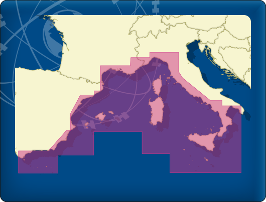
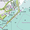
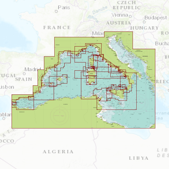
DKW ID50: Mediterranean West
Since 2009 Stentec Software publishes the famous Imray charts digitally. These are based on the paper charts and feature the same well known Imray colors.
Covering area
The Mediterranean coast from Gibraltar up until the Northcoast of Sicily, including the Spanish Eastcoast, French Southcoast, Italian Westcoast, Ibiza, Mallorca, Menorca, Corsica and Sardinia. Use this chart in combination with the Delius Klasing chart set for the Balearic Islands, the DKW DK9, for even more detail.
Depth image
The depths are shown in the recognizable Imray colors: deep waters are blue and shallows are shown in whites. This configuration is the opposite of the DKW 1800, DKW German Bight and DKW English & Scottish Eastcoast.
Stentec publishes the DKW Imray series annually. All data is supplied by Imray. During the edition year 2 free updates are published in April and July, giving you the most up-to-date charts during your voyage.
Chart image
The DKW Imray series are comprised of raster charts. Because of this, the charts are an exact copy of the paper versions and you will see pixels when zoomed in to the maximum amount. The advantage of this is that all information, for example buoyage or shallows, are projected on the exact coordinates. When using vector charts a misleading image can show up when zooming in.
|
|
|
System Requirements: This chart can be used in WinGPS for Windows and can also be installed on the WinGPS Marine apps for Android and iOS. For accurate route planning with rotating chart and AIS you will need at least WinGPS Pro or the paid version of WinGPS Marine. Click here for more information about the WinGPS series. |
|
DKW Southern France |

|
|
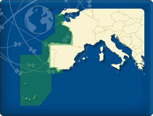
DKW ID40: Atlantic coast France, Portugal to Gibraltar
Since 2009 Stentec Software publishes the famous Imray charts digitally. These are based on the paper charts and feature the same well known Imray colors.
Covering area
The Atlantic coast from Morlaix on the French coast up until Gibraltar, including the Canary Islands and Azores. Also a small part of the English coast near Plymouth and the Isles of Scilly.

Depth image
The depths are shown in the recognizable Imray colors: deep waters are blue and shallows are shown in whites. This configuration is the opposite of the DKW 1800, DKW German Bight and DKW English & Scottish Eastcoast.
Stentec publishes the DKW Imray series annually. All data is supplied by Imray. During the edition year 2 free updates are published in April and July, giving you the most up-to-date charts during your voyage.
Chart image
The DKW Imray series are comprised of raster charts. Because of this, the charts are an exact copy of the paper versions and you will see pixels when zoomed in to the maximum amount. The advantage of this is that all information, for example buoyage or shallows, are projected on the exact coordinates. When using vector charts a misleading image can show up when zooming in.
|
|
|
System Requirements: This chart can be used in WinGPS for Windows and can also be installed on the WinGPS Marine apps for Android and iOS. For accurate route planning with rotating chart and AIS you will need at least WinGPS Pro or the paid version of WinGPS Marine. Click here for more information about the WinGPS series. |
|
DKW Southern France |
Do you have any questions?
Call us on +31 515 443515, fill in the contact form or make an appointment at our store in Heeg.
Click here for our opening hours.


News
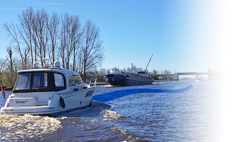
 The boating season is in full swing, and the water is calling! Whether you’re planning a relaxing weekend getaway or a major trip on Europe’s inland...
 The new charts for the Wadden Sea, DKW 1811 and DKW 1812, and DKW 1805 (Oosterschelde, Veerse Meer, and Grevelingenmeer) are now available! The quarterly...
 Are you familiar with our WinGPS Marine Plus for Android? This popular navigation app is now available as an affordable subscription and can be paired with an...
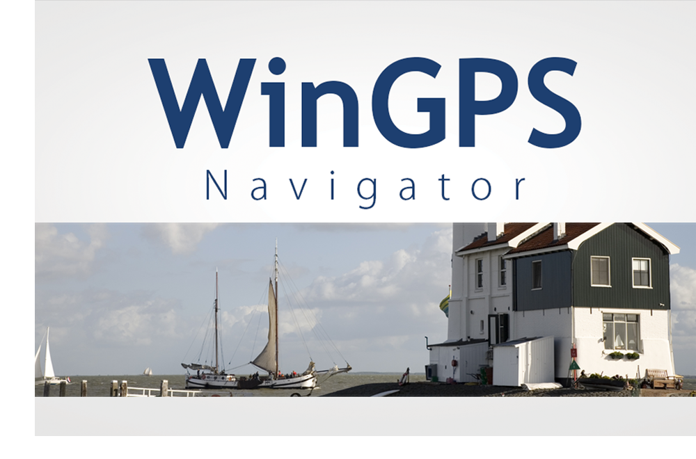
| WinGPS Navigator |
|
• Easy to use route planner |
| WinGPS Marine |
|
A navigation app for use aboard your ship. An upgradable navigation solution for all sailors, from beginner to professional. |

Stentec Navigation is specialised in digital navigation for water sporters and commercial shipping.
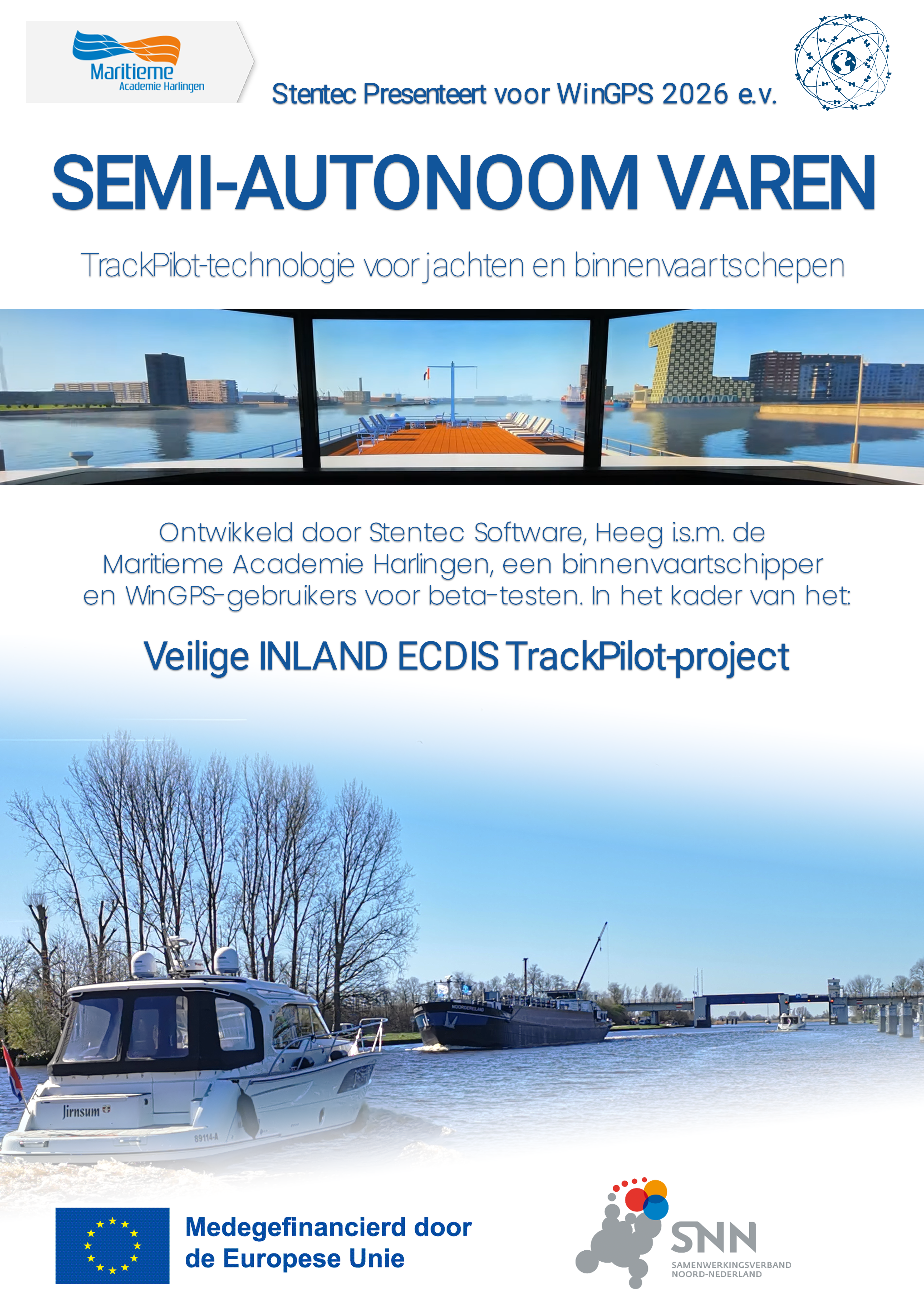
Trackpilot-project : 2025-2028


Harinxmastrjitte 29
8621 BJ HEEG
The Netherlands
T +31 (0) 515 443515

Copyright © Stentec Software. All rights reserved.
By using this website you acknowledge that you agree with our user agreement.