|
|
DKW 1800 series
The DKW 1800 Series Complete is the essential digital chart set for the Dutch coastal waters, based on the official Hydrographic Charts and trusted for more than 25 years as the foundation for safe and reliable navigation with WinGPS.
With weekly NtM updates, the chart remains continuously up to date, ensuring that changes in buoyage, depths and waterways are displayed automatically. This means you always navigate with the latest information, without any extra work.
The set includes all available Hydrographic charts from the 1800 series and can be used in WinGPS on Windows, Android and iOS.
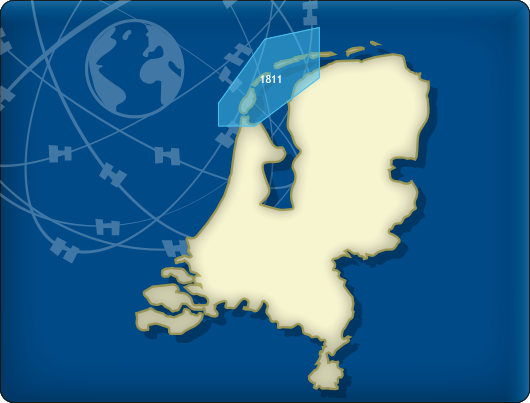
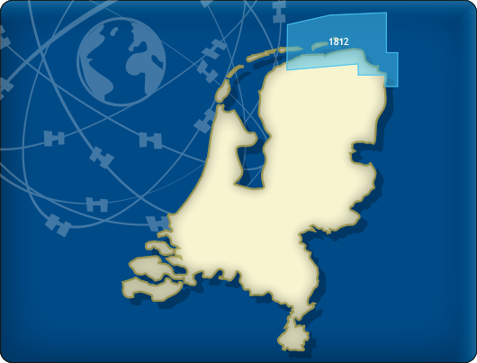
The Waddensea charts DKW 1811 and DKW 1812 are supplied with monthly updated depth marks from Rijkswaterstaat. Great when sailing on the tidal waters of the Wadden Sea.
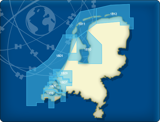
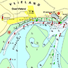
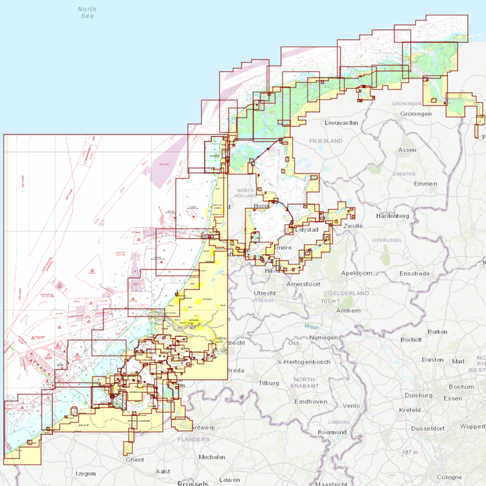
Covering area
The following DKW1800 series are included in this set:
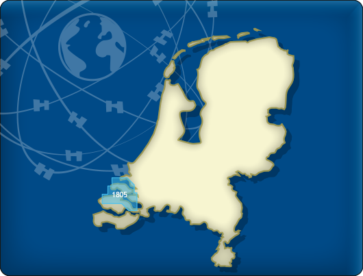
- DKW 1805 Oosterschelde: Veerse Meer and Grevelingenmeer
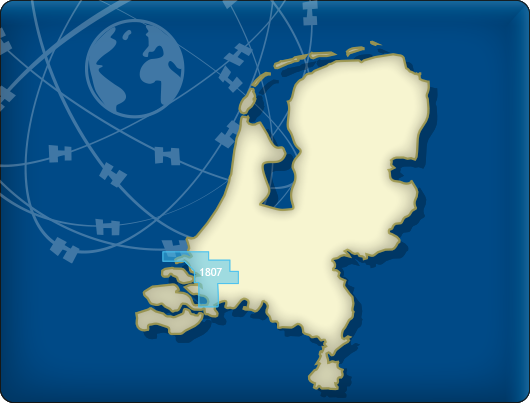
- DKW 1807 Zoommeer, Volkerak, Spui, Haringvliet and Hollandsch Diep
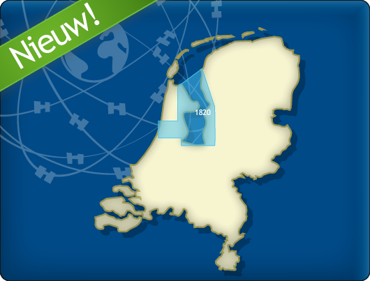
- DKW 1820 IJsselmeer: Markermeer, Ketelmeer and Noordzeekanaal
- DKW 1811 Wadden Sea West: Wadden Sea West and adjourning North Sea coast
- DKW 1812 Wadden Sea East: Wadden Sea East and adjourning North Sea coast
The DKW 1801, 1803, 1809, and 1810 charts are no longer published by the Hydrographic Service. For these areas, you can now use the following charts:

Depth image
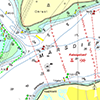
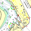
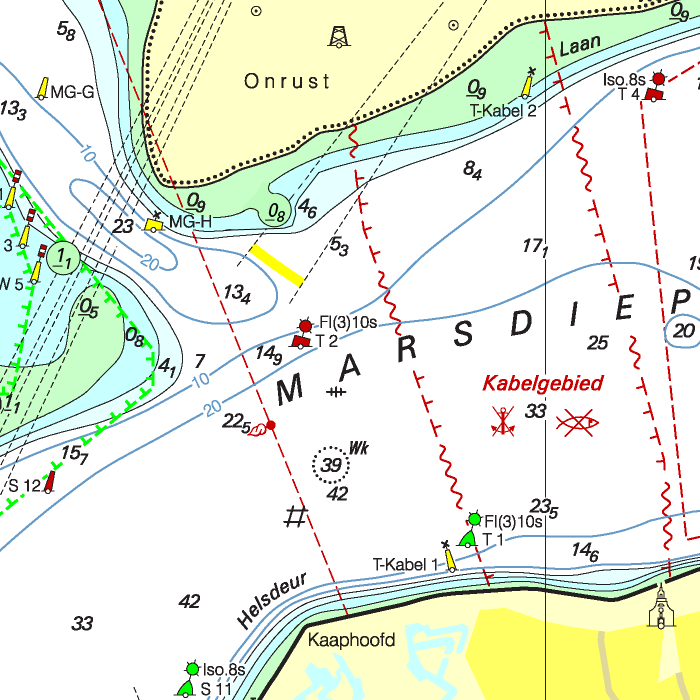
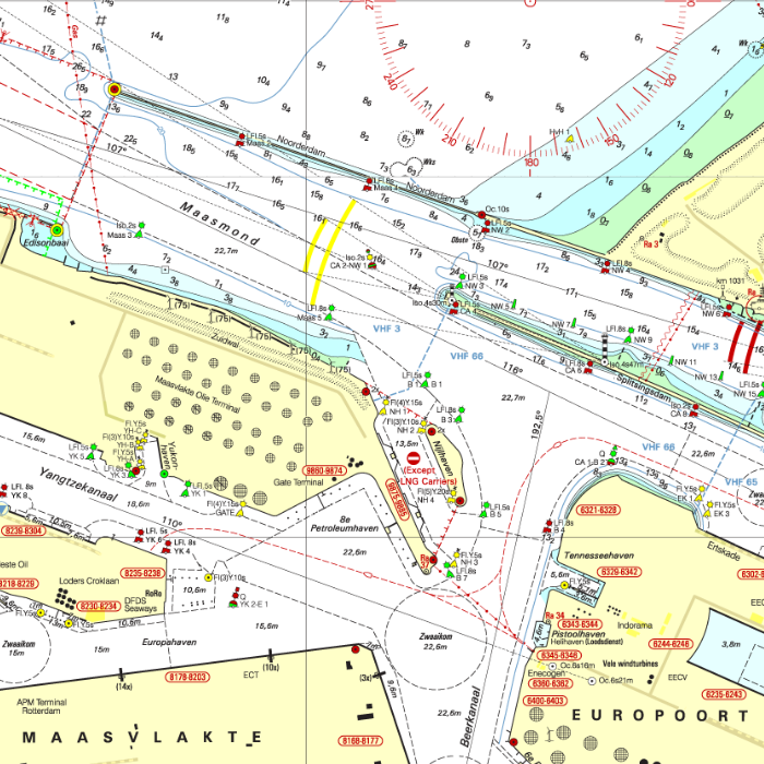
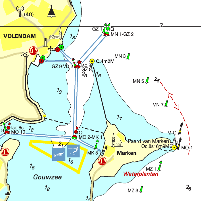
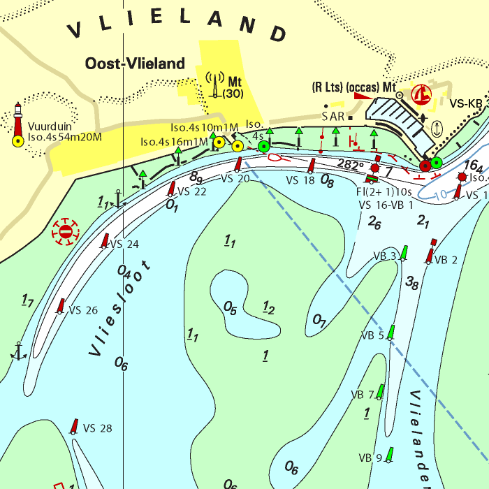
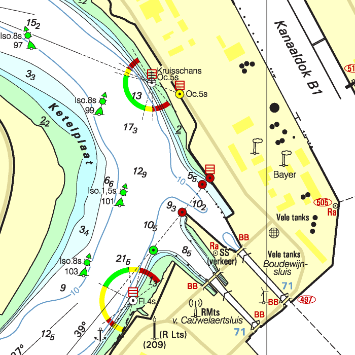
The DKW 1800 series contains a clear depth image and is the same as the well known paper version of the 1800 charts. Deep water is white and shallows are shown in different colors.
Stentec publishes the DKW 1800 series annually. The data is provided by the Dutch hydrographic service and the free weekly updates are based on the 'BaZ - Berichten aan Zeevarenden' (NtM - Notices to Mariners). User remarks are also screened and added to the charts which makes these chart sets the most up-to-date chart for the Dutch coastal waters.
Chart image
The DKW 1800 series contains raster charts. This makes these charts look exactly the same as the paper version and you can see the pixels when zooming in. This has the advantage that the information, such as buoyage or shallows, are on the exact coordinates. This is in contrast to vector charts where a distorted image can be shown when zooming in.
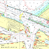
On the Wadden Sea, the current depth status of Rijkswaterstaat is included. This contains the current depths, both in NAP and LAT, with the measurement date at that exact location. As soon as new information is available from RWS, these points are updated and an update becomes available for you. This current depth status is shown as waypoints on the chart and can be switched on/off manually. Ideal for planning a route over a tidal flat!
All products in the DKW 1800 series
Click on an image for more information.
|
DKW 1800 Complete |
DKW 1800 North |
DKW 1805: |
|
DKW 1807: |
DKW 1811: |
DKW 1812: |
|
DKW 1820: |
|
|
|
System Requirements: This chart can be used in WinGPS 6 for Windows and can also be installed on the WinGPS Marine apps for Android and iOS. For accurate route planning with rotating chart and AIS you will need at least WinGPS Pro or the paid version of WinGPS Marine. Click here for more information about the WinGPS series. |
Connecting DKW charts
Click the image for more information.
|
DKW Vaarkaart |
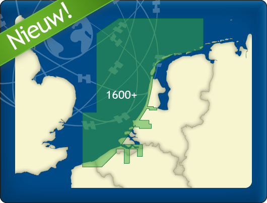
DKW 1600+ |

|
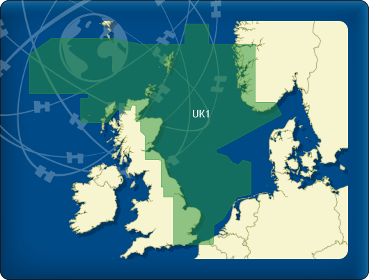
DKW UK1 |
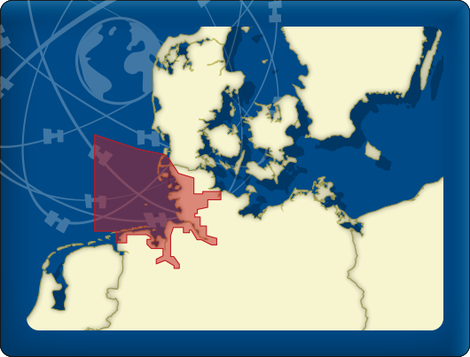
DKW German Bight |