


|
|
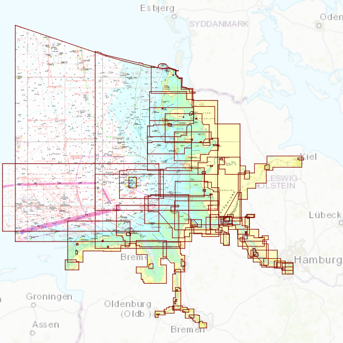
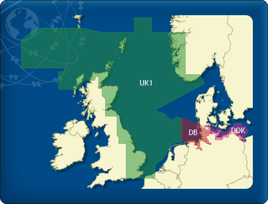
DKW DB German Bight
The DKW German Bight is developed for sailors, motorboaters and commercial shipping. The chart set is ideal in combination with the paid versions of WinGPS. You can easily and quickly plan routes along the German Bight and to the Baltic Sea.
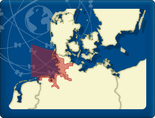
Covering area
The detailed charts in this chart set cover the German coast from Just to Kiel, Hamburg, Helgoland to the Danish border.
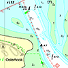
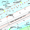
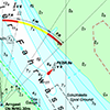
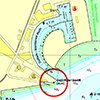
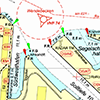
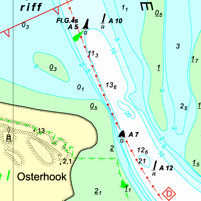
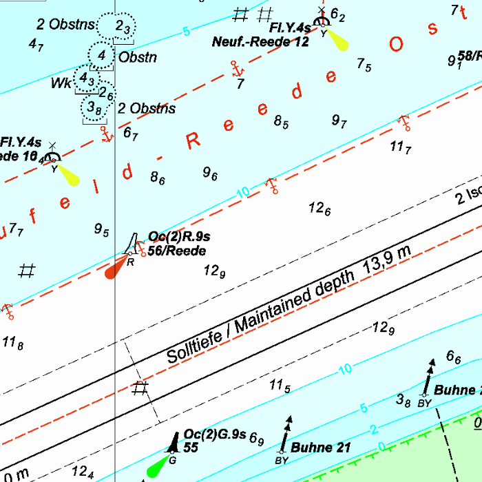
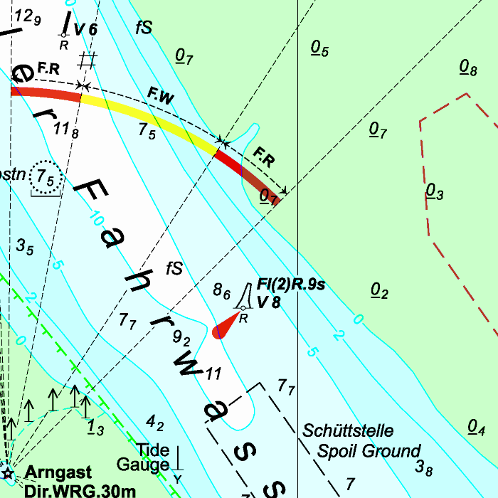
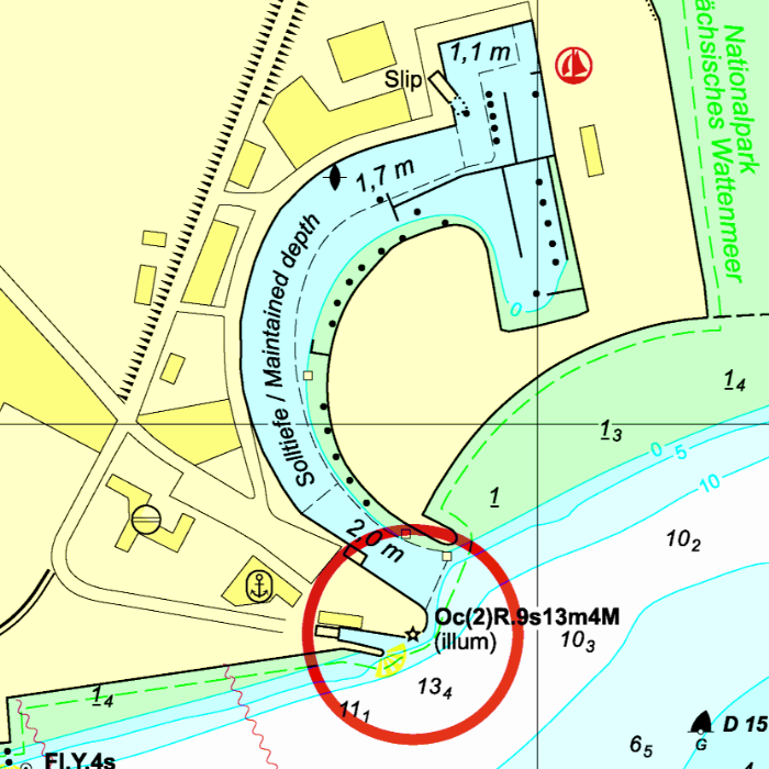
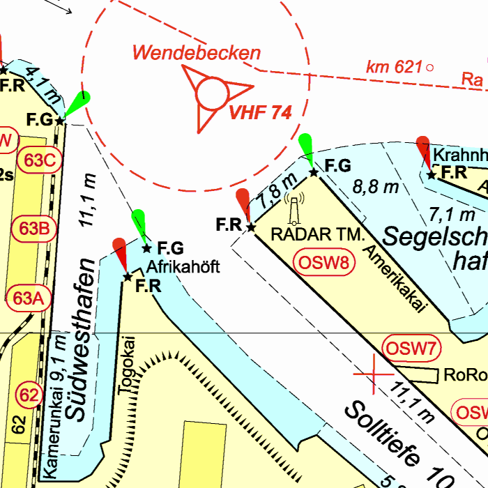
Depth image
This chart set has a unique and clear depth image. The chart is published annually by Stentec, based on OpenStreetMap, IENC charts and user remarks. The chart has a high level of detail with 2 meter per pixel, making it possible to zoom in up until the jetties at your home port.
|
|
|
System Requirements: This chart can be used in the free WinGPS Lite for Windows and can also be installed on the WinGPS Marine apps for Android and iOS. For accurate route planning with rotating chart and AIS you will need at least WinGPS Pro or the paid version of WinGPS Marine. Click here for more information about the WinGPS series. |
Connecting chart sets
Click on one of the above areas for a direct link to the chart set.
test


