


|
|
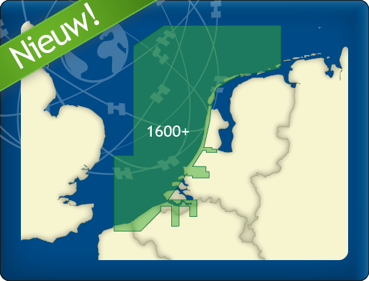
DKW 1600+
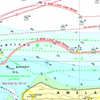
North Sea Coast Netherlands
With our new DKW 1600+, you can navigate the Dutch and Belgian coasts with a clear, up-to-date digital chart, including the trusted weekly BaZ updates automatically installed in WinGPS.
The chart is based on the Hydrographic Chart 1600 and supplemented with additional chart sheets. This gives you a single, clear overview of the most important sailing areas along the coast and in the North Sea.
NEW:
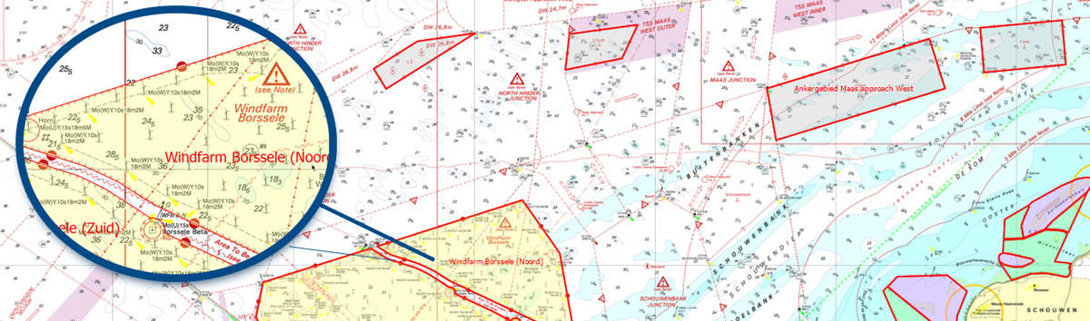
This new digital chart offers extra-wide North Sea coverage and smart alarm zones for enhanced safety near wind farms and other locations.
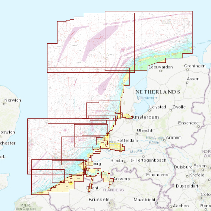
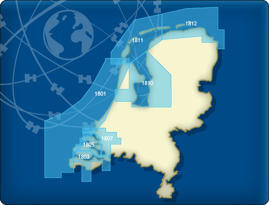
Coverage Area
The DKW 1600+ covers:
- the North Sea coast of the Netherlands and Belgium
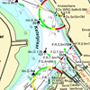
From Rottumerplaat to Dunkirk. In some areas, up to 85 miles from the coast. This includes the numerous wind farms and traffic separation schemes. - the Rijnmond area
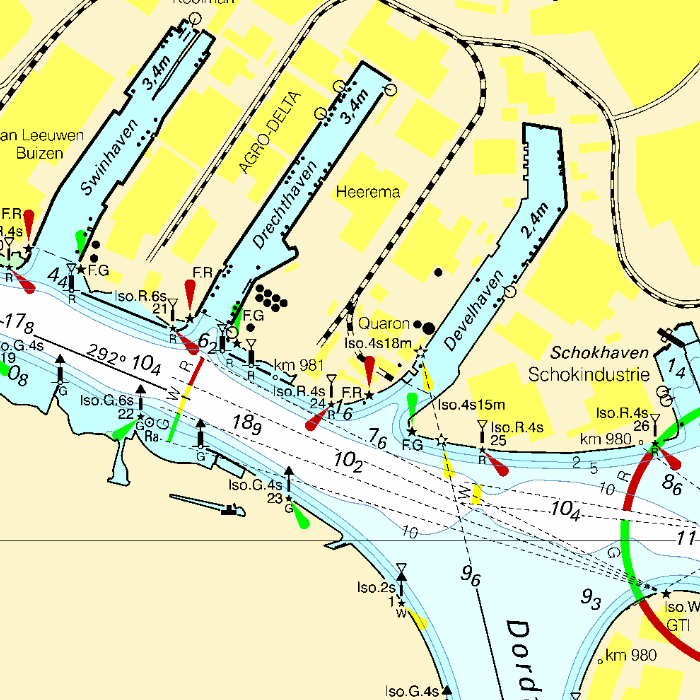
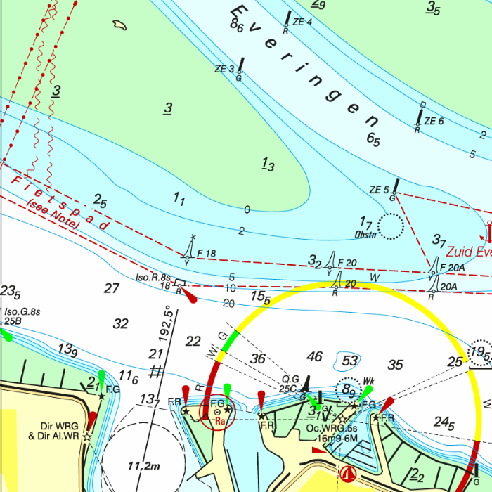
This includes the Maasvlakte up to Capelle aan den IJssel, Lekkerkerk, Sliedrecht, 's Gravendeel up to Oud Beijerland. - the Westerschelde up to Antwerp and Ghent..
The DKW 1600+ is the ideal replacement for the well-known 1801 North Sea Coast, 1803 Western Scheldt, and 1809 Rijnmond areas, which are no longer published by the Hydrographic Service. It is ideal for combining with the DKW 1800 Complete series. This creates a beautiful set of up-to-date charts for Dutch coastal waters.
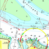
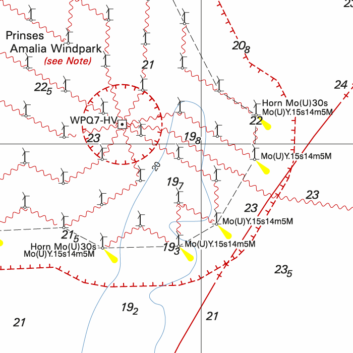
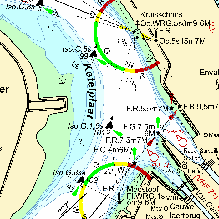
Extra safety: preset alarm zones
Pre-set alarm zones have been added to the DKW 1600+ for use in WinGPS 6.
With the alarm zone function in WinGPS 6, zones can be marked on the map where you are not allowed to enter or where you need to be extra alert. For the DKW 1600+, we have prepared a number of these zones for you, including in:
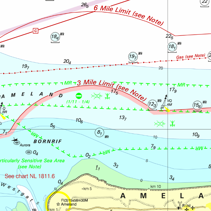
- wind farms
- test and training areas
- nature reserves
- anchorage areas
When you activate the alarm zones in WinGPS 6, you will receive a warning as soon as your current position approaches or crosses such a zone. This provides you with immediate clarity regarding risk areas, especially in places where there is often uncertainty in practice about what is and is not permitted.
Important: The alarm zones can only be used in WinGPS 6 Pro, Voyager, or Inland from 2026 or later. They are intended as an additional navigation aid. As a skipper, you always remain responsible for consulting official publications and complying with laws and regulations.
|
|
Key Features DKW 1600+
- Based on Hydrographic Chart 1600
Clear, well-organized chart display, just like you're used to from the paper 1600, available digitally in WinGPS. - Extensive North Sea Coverage
The DKW 1600+ covers much further North Sea than you're used to with traditional coastal charts. Ideal for coastal voyages, crossing between North Sea ports, and planning routes along the Dutch and Belgian coasts. - Includes Weekly Notices to Mariners (NtM) Updates
The chart is updated weekly with the latest Notices to Mariners (NtM). These updates are automatically installed via WinGPS, ensuring your charts are always up-to-date. - A Practical Replacement for Discontinued 1800 Charts
Because several 1800 charts are no longer published by the Hydrographic Service, many users were looking for a suitable alternative. The DKW 1600+ offers a practical successor for these sailing areas, with comparable coverage, BaZ updates, and a familiar chart view in your WinGPS navigation system. - Includes innovative alarm zones
Preset alarm zones for wind farms, among others, for easily planning safe routes and which warn you in WinGPS 6 as soon as you approach a risk area. - Seamless integration with WinGPS 6 for Windows
Use with WinGPS 6 Pro, Voyager, and Inland (2026 & newer). Plan routes, connect AIS and GPS, and start sailing.
|
|
Discount with a Premium Subscription:
Do you have a Premium Subscription? Then you'll receive a €20 discount on our new DKW 1600+ North Sea Coast Netherlands.
Connecting DKW charts
Click the image for more information.
|
DKW 1800 Complete |
DKW 1800 North |
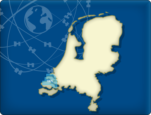
DKW 1805: |
|
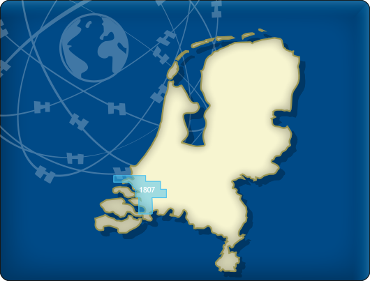
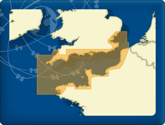
DKW 1807: |
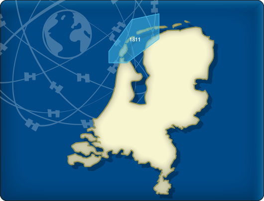
DKW 1811: |
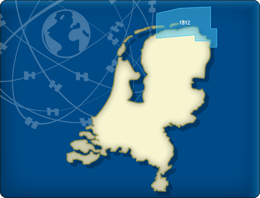
DKW 1812: |
|
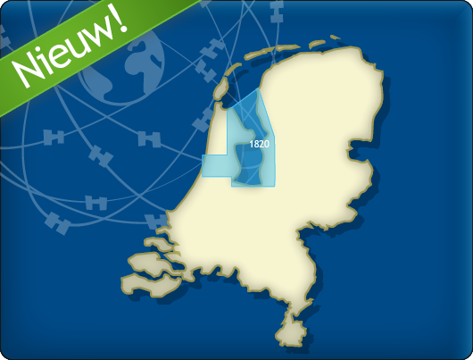
DKW 1820: |
DKW Vaarkaart |
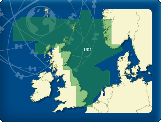
DKW UK1 |

|
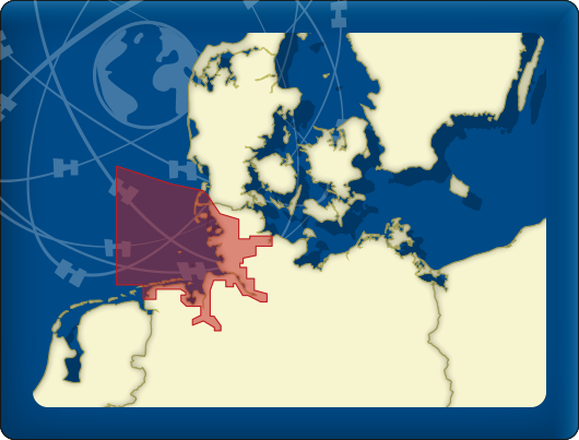
DKW German |
DKW ID20 |
|
|
|
System Requirements: This chart can be used in WinGPS 6 for Windows and can also be installed on the WinGPS Marine apps for Android and iOS. For accurate route planning with rotating chart and AIS you will need at least WinGPS Pro or the paid version of WinGPS Marine. Click here for more information about the WinGPS series. |

Harinxmastrjitte 29
8621 BJ HEEG
The Netherlands
T +31 (0) 515 443515


Copyright © Stentec Software. All rights reserved.
By using this website you acknowledge that you agree with our user agreement.