


No longer available |

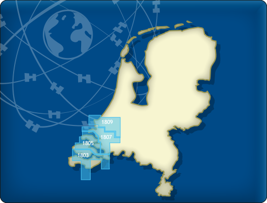
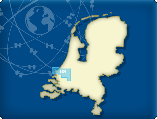
DKW 1809 Nieuwe Waterweg
The DKW 1809 is no longer issued by the Hydrographic Service. This chart set covered the area: Nieuwe Waterweg, Nieuwe and Oude Maas, Spui and Noord Dordtsche Kil and the Brielse Meer. You can now use the DKW Vaarkaart Nederland (Complete or South) for this area. More information about the DKW Vaarkaart Nederland can be found here.
Covering area
The DKW 1809 covers the Nieuwe Waterweg, Nieuwe & Oude Maas, Spui, Noord, Dordtsche Kil and the Brielse Meer. Including Rotterdamharbours, Europort and the nieuwe Maasvlaktes.
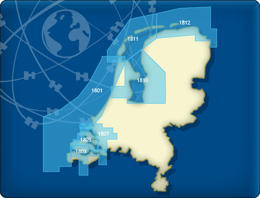
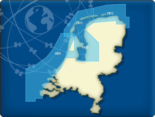
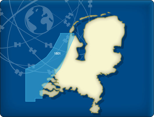
All products in the DKW 1800 series
Click on an image for more information.
|
DKW 1800 Complete |
DKW 1800 North |
DKW 1800 South |
|
DKW 1801: |
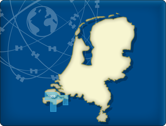
DKW 1803: |
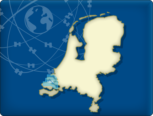
DKW 1805: |
|
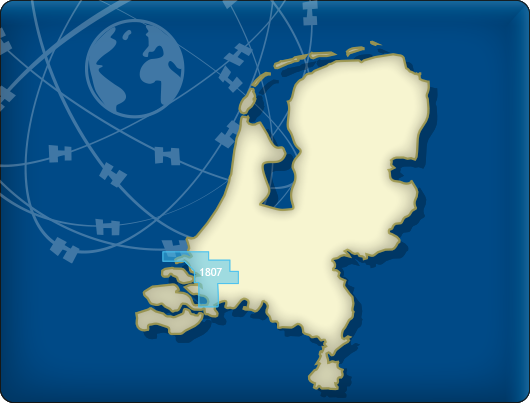
DKW 1807: |
DKW 1809: |
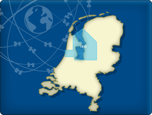
DKW 1810: |
|
DKW 1811: |
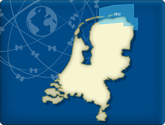
DKW 1812: |

Connecting chart sets

Click on one of the above areas for a direct link to the chart set.
test


