


|

DKW Imray series
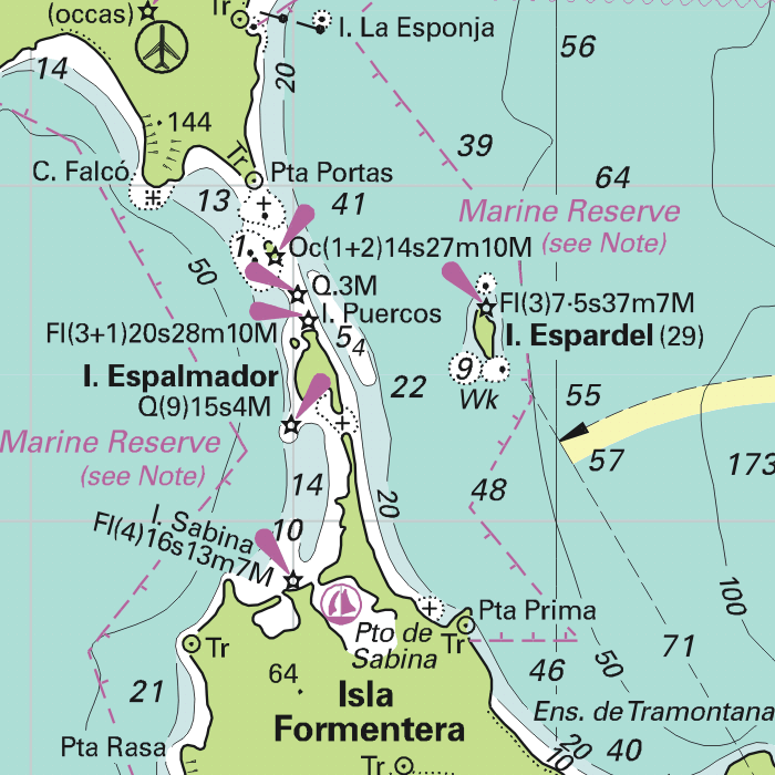
Since 2009 Stentec Software publishes the famous Imray charts digitally. These are based on the paper charts and feature the same well known Imray colors.
Covering area
The following DKW Imray charts are available:
- DKW ID10 English & Scottish Eastcoast
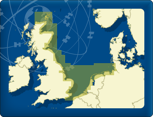
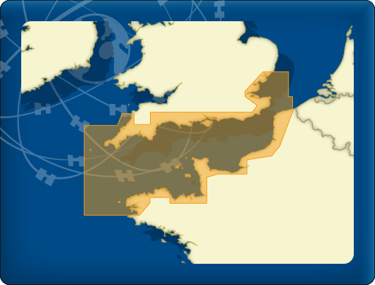
- DKW ID20 English Channel
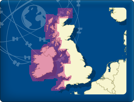
- DKW ID30 British Westcoast & Ireland
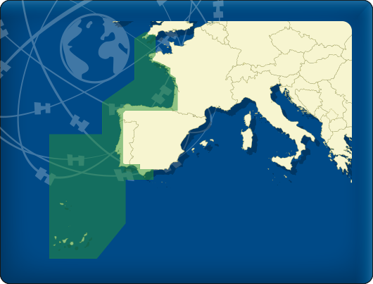
- DKW ID40 Alantic coast France, Portugal to Gibraltar
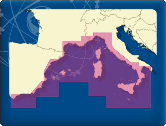
- DKW ID50 Mediterranean West
- DKW ID60 Mediterranean Central
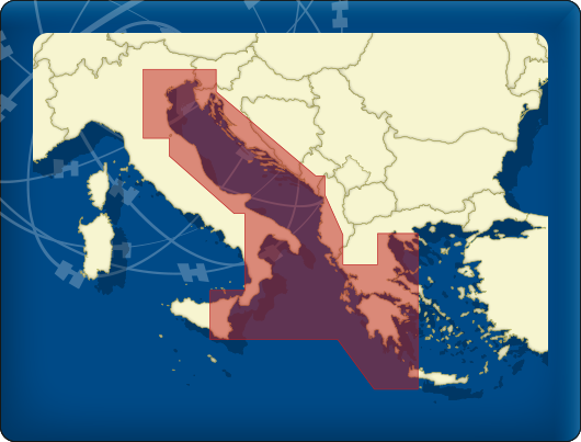
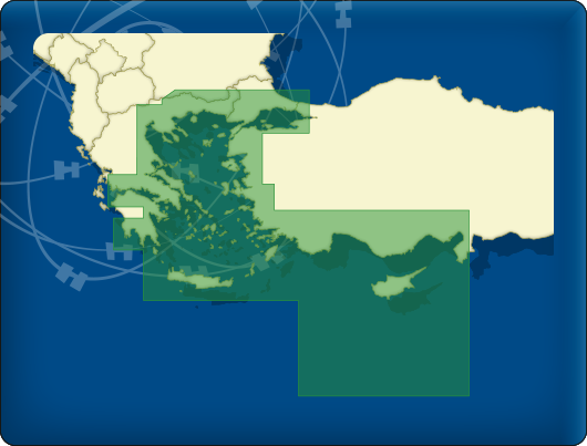
- DKW ID70 Mediterranean East
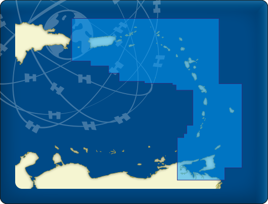
- DKW ID100 Caribbean East

Detailed screenshots
|
|
|
|
|
|
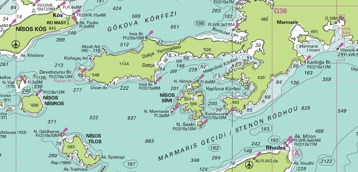
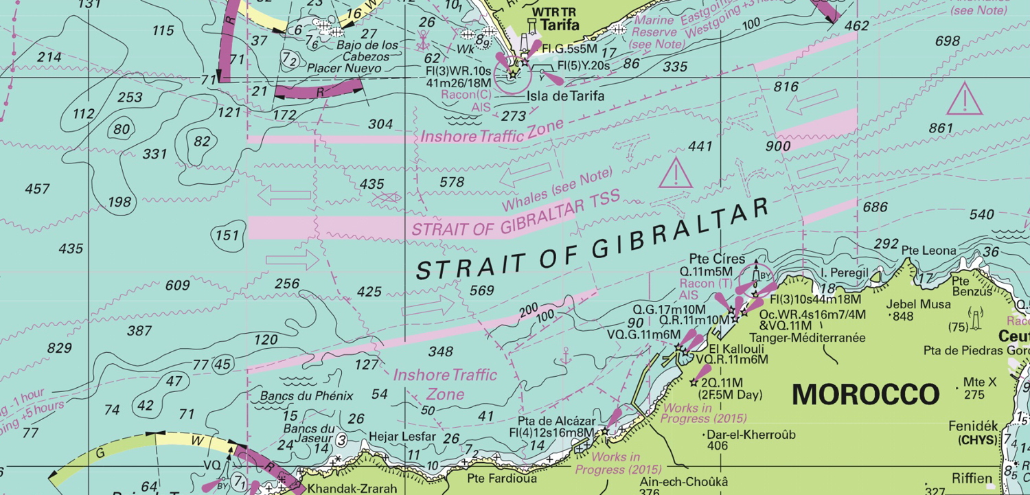
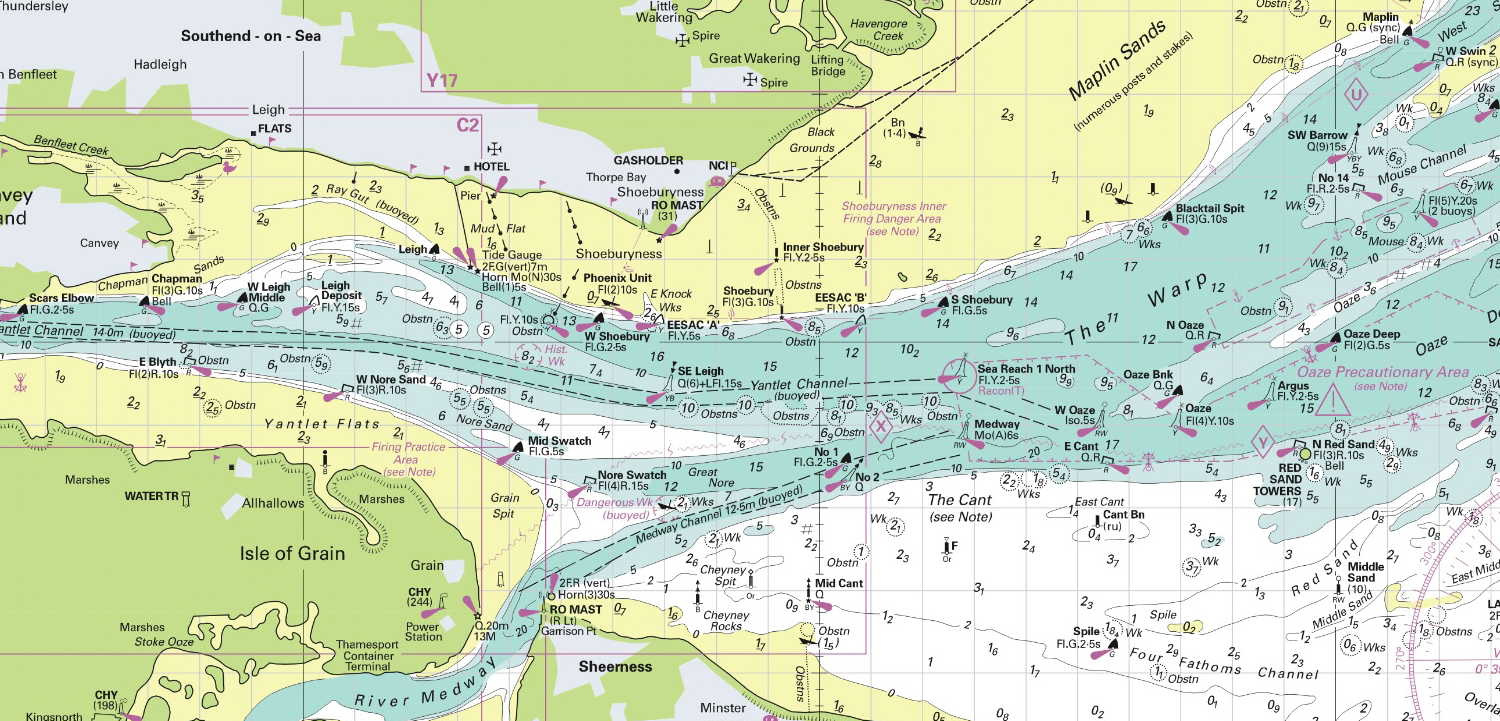
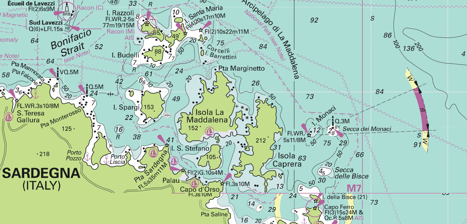
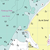
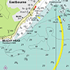
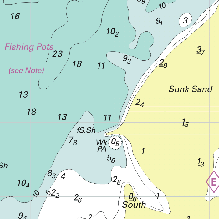
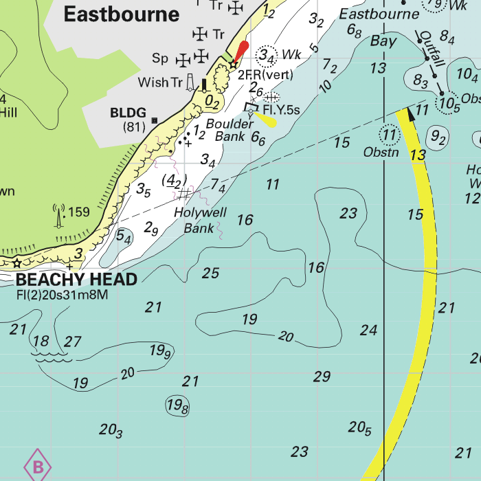
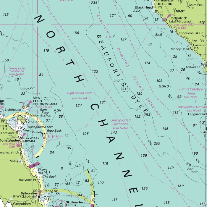
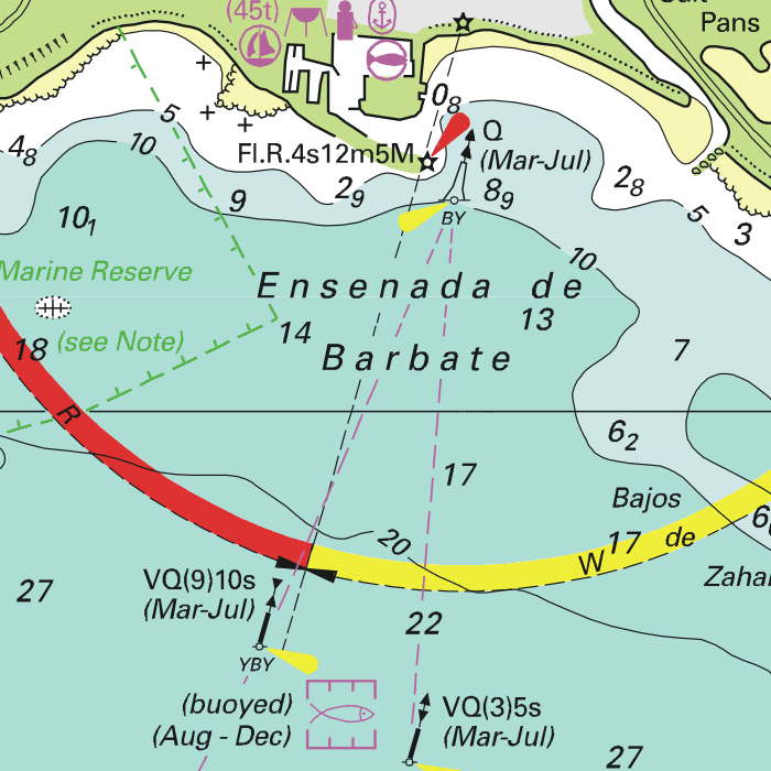
Depth image
The depths are shown in the recognizable Imray colors: deep waters are blue and shallows are shown in whites. This configuration is the opposite of the DKW 1800, DKW German Bight and DKW English & Scottish Eastcoast.
Stentec publishes the DKW Imray series annually. All data is supplied by Imray. During the edition year 2 free updates are published in April and July, giving you the most up-to-date charts during your voyage.
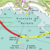
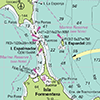
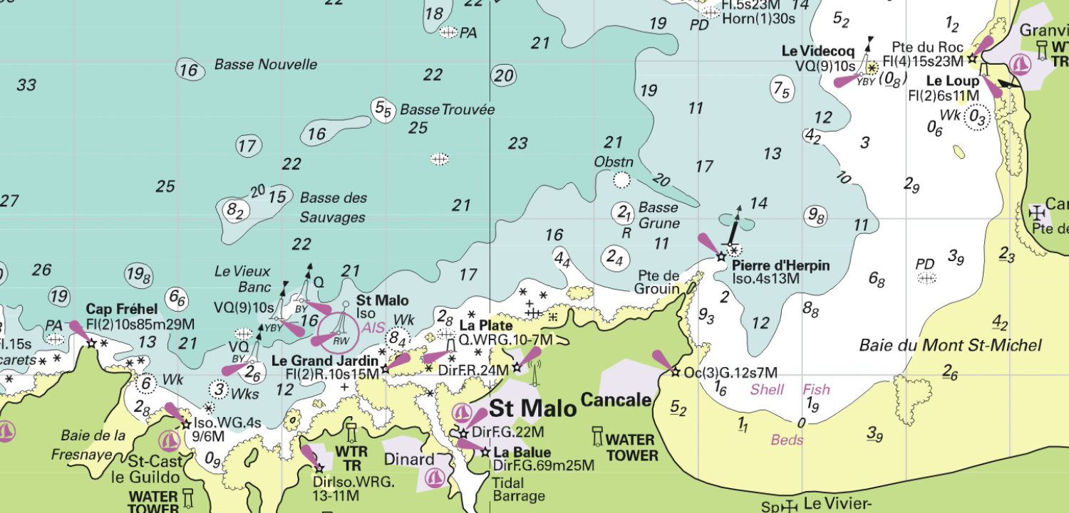
Chart image
The DKW Imray series are comprised of raster charts. Because of this, the charts are an exact copy of the paper versions and you will see pixels when zoomed in to the maximum amount. The advantage of this is that all information, for example buoyage or shallows, are projected on the exact coordinates. When using vector charts a misleading image can show up when zooming in.
All products in the DKW Imray series
Click on an image for more information about the chart set.
|
DKW ID10 |
DKW ID20 |
DKW ID30 |
|
DKW ID40 |
DKW ID50 |
DKW ID60 |
|
DKW ID70 |
DKW ID100 |
|
|
|
System Requirements: This chart can be used in the free WinGPS Lite for Windows and can also be installed on the WinGPS Marine apps for Android and iOS. For accurate route planning with rotating chart and AIS you will need at least WinGPS Pro or the paid version of WinGPS Marine. Click here for more information about the WinGPS series. |
Connecting chart sets
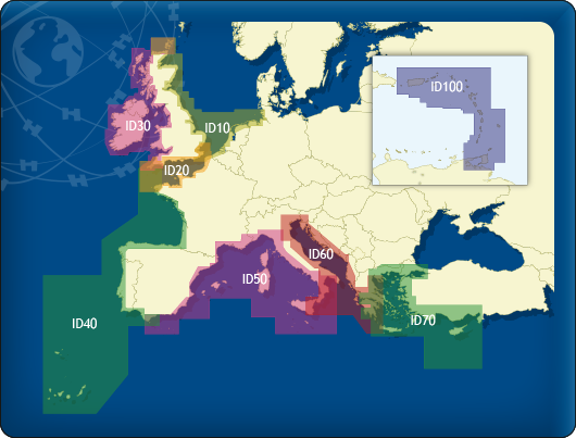
Click on one of the above areas for a direct link to the chart set.
test


