


|
DKW 1800 series for iOS! Up to date all year round. |
|
 |
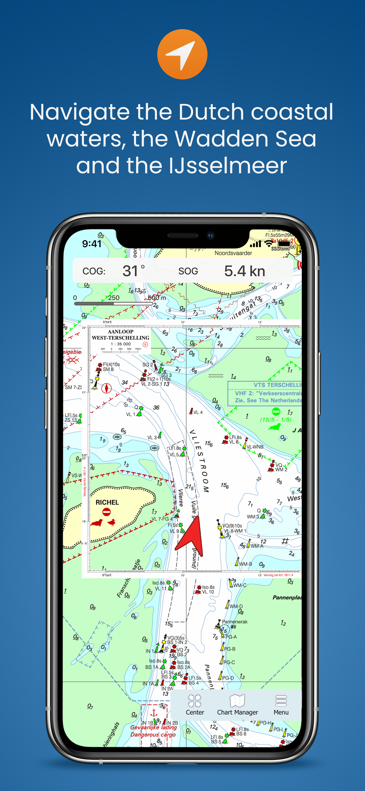
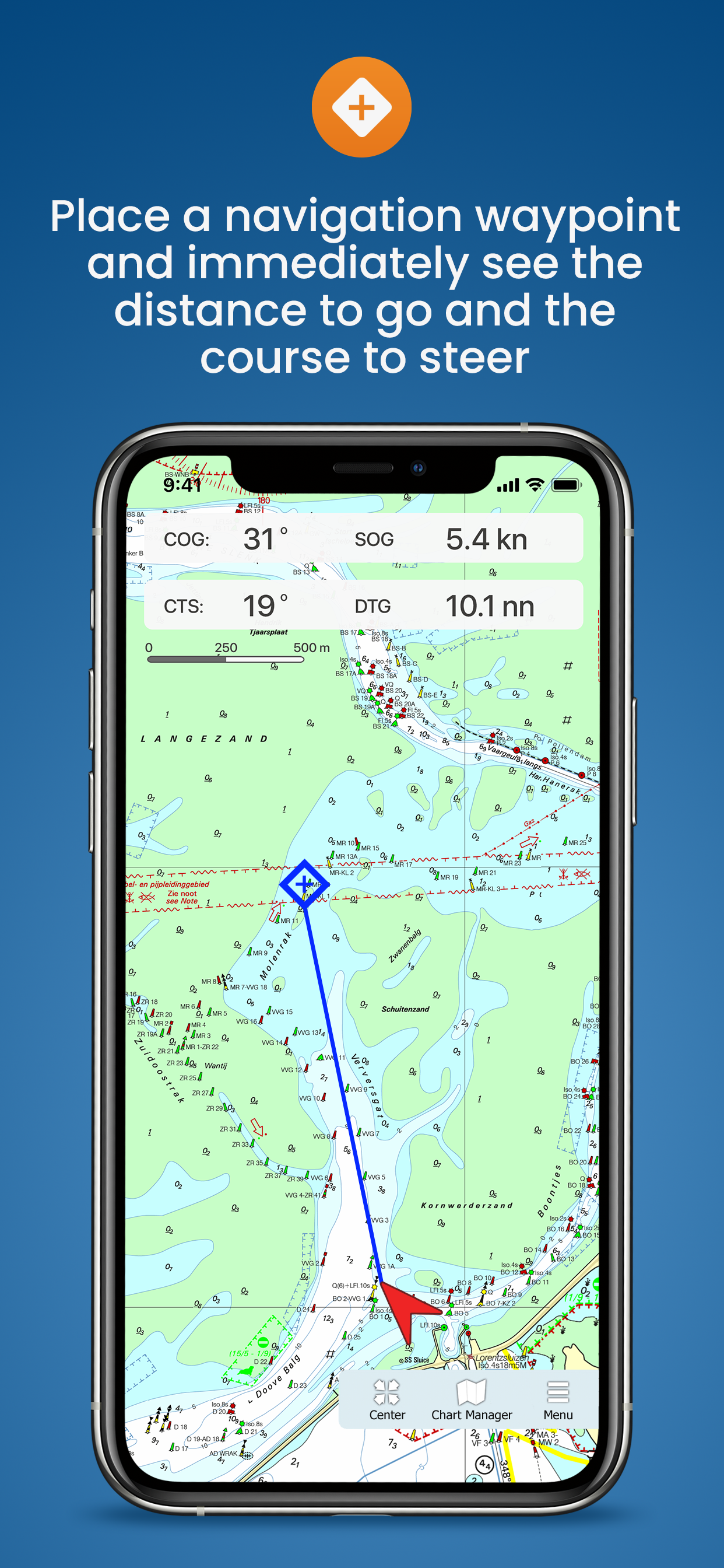
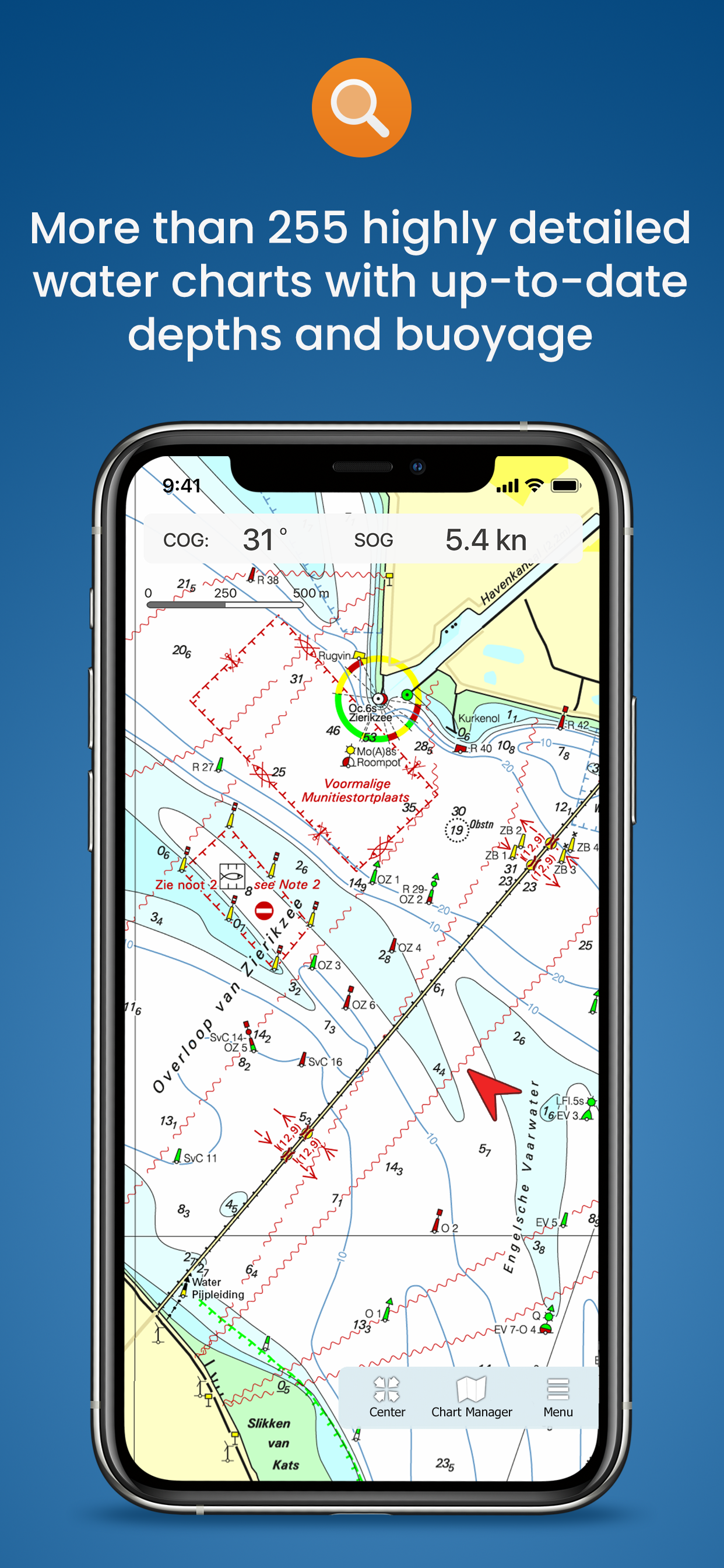
Charts
After purchasing the app you can immediately download all DKW 1800 charts and start using the app for navigation on board. The charts are linked to your Stentec account and can therefore also be used with WinGPS for Windows and WinGPS Marine for Android.
| Note: the updates for the DKW 1800 charts will be released weekly. Do you have the edition of last year? Then you can upgrade to the new edition for a special upgrade price in our online shop, which will also provide you with weekly BaZ updates for the charts. |
System requirements:
Check via the link below if your device is suitable for this chart app. This app has the same system requirements as WinGPS Marine for iOS. In addition, you should take into account the size of the DKW 1800 series charts. Check our online shop for the current size of these charts.
 |
Note: not every device mentioned above has a built-in GPS receiver. If your device does not have an internal GPS receiver, you can use a bluetooth GPS receiver |
WinGPS Marine
Do you also want to sail outside the 1800 series area? Then we recommend WinGPS Marine: the free navigation app for iOS. Here you can also load other DKW charts and use them for navigation. WinGPS Marine can be upgraded, after which you can also set routes, download GRIB files for weather forecasts and link AIS.

Harinxmastrjitte 29
8621 BJ HEEG
The Netherlands
T +31 (0) 515 443515


Copyright © Stentec Software. All rights reserved.
By using this website you acknowledge that you agree with our user agreement.