


|
|
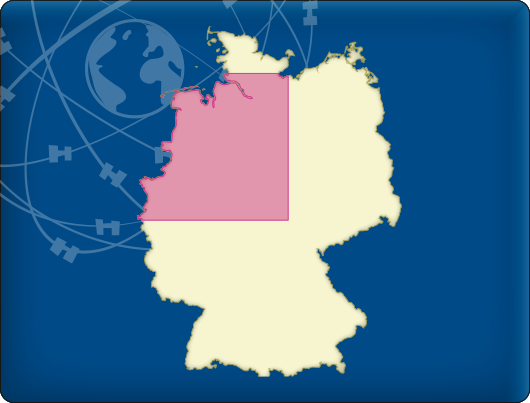
DKW Northwest Germany
The DKW Northwest Germany is developed for sailors, motorboaters and commercial shipping. The chart gives a clear view of all Northwestern German water ways and is ideal in combination with the paid versions of WinGPS. Using the route network you can easily and quickly plan routes on the inland waterways of Northwest Germany.
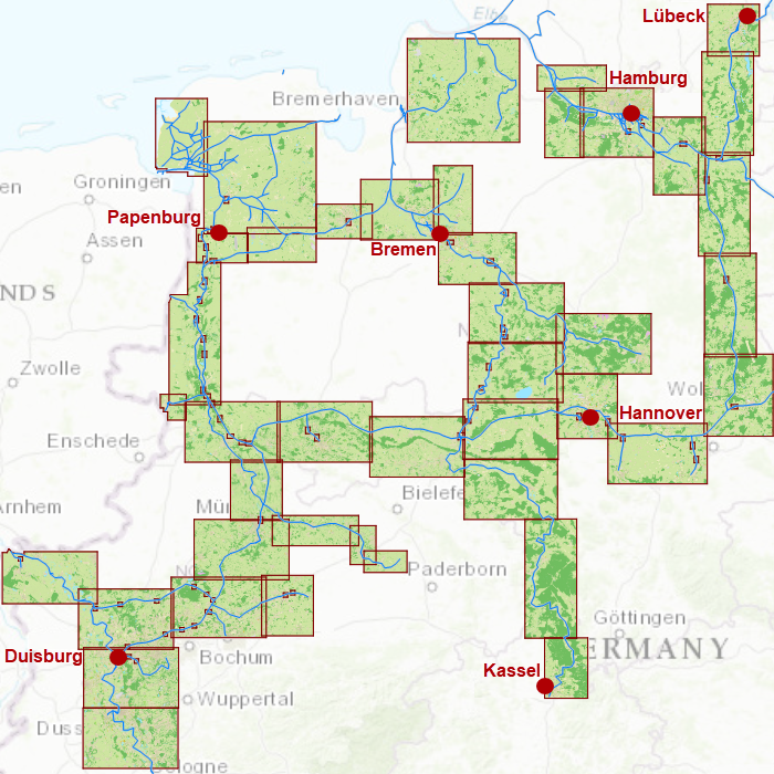
Covering area
In this chart set all large Northwestern German waterways are covered. The covering area is from the Dollard up until the Baltic coast at Lubeck and Duisburg, including a.o.
- The Rhine between Leverkusen to Lobith (km. 700 - 785)
- The sailable channels and rivers in the Ruhr area
- The 'Veen' channels between Emden and Oldenburg
- The Weser up until the connection at the Hünte (km 33)
- The Elbe between Bleckede and Hamburg (km. 550 – 610) with the Elbe-Lübeckkanal, the Elbe-Seitenkanal and the Schifffahrtweg Elbe-Weser
- The Aller
- The Küstenkanal
- The Ems-Jade-Kanal
- The Ems and the Dortmund-Emskanal
- The Mittellandkanal and the Stichkanalen
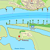
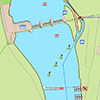
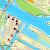
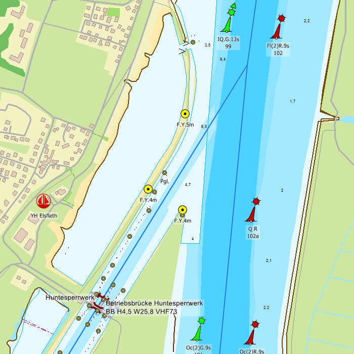
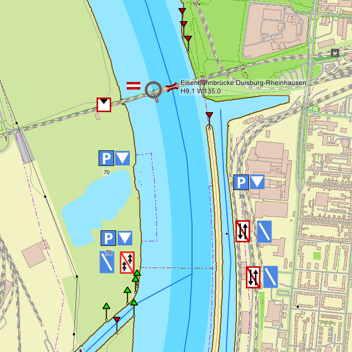
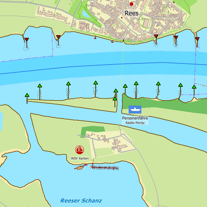

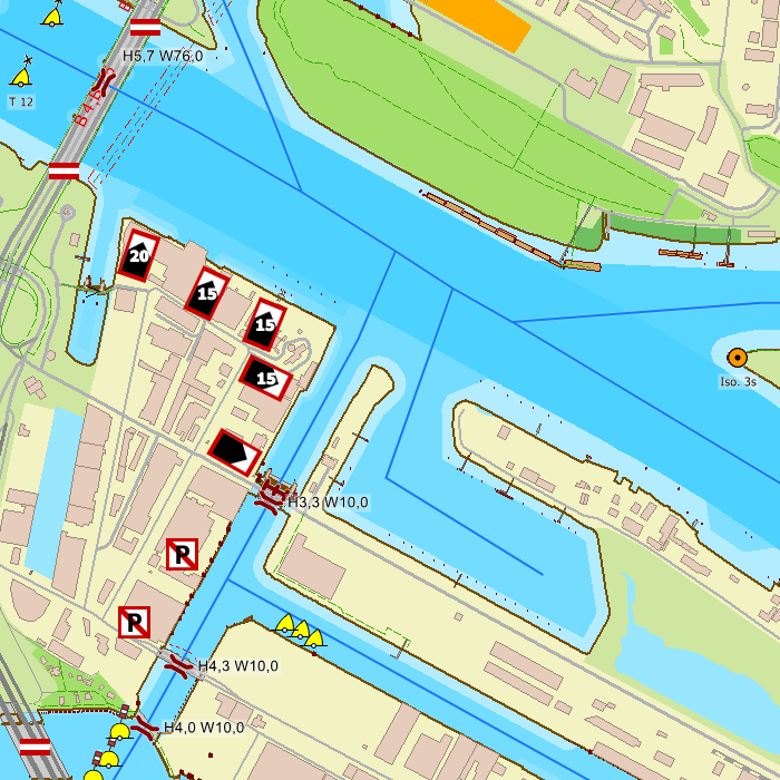
Depth image
This chart set has a unique and clear depth image. The chart is published annually by Stentec, based on OpenStreetMap, IENC charts and user remarks. The chart has a high level of detail with 2 meter per pixel, making it possible to zoom in up until the jetties at your home port.
Chart image
Stentecs inland water charts are so-called hybrid charts. The bottom surface is a raster format. This is where a.o. the quays, depths and buildings are shown. All other navigational information is projected on top of this through waypoints. These waypoints remain the same size when zooming in or out. The chart can be fully personalized by adding or removing certain waypoint groups and showing you only the information you select.
The DKW Northwest Germany has waypoints, with a.o. buoys, harbours, moorings, diesel tank stations, watersport campsites and VHF channels.
Specifically for commercial shipping waterway signs and VIN moorings are added.
|
|
|
System Requirements: This chart can be used in the free WinGPS Lite for Windows and can also be installed on the WinGPS Marine apps for Android and iOS. For accurate route planning with rotating chart and AIS you will need at least WinGPS Pro or the paid version of WinGPS Marine. Click here for more information about the WinGPS series. |
Connecting chart sets
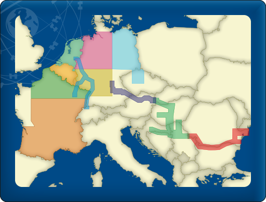
Click on one of the above areas for a direct link to the chart set.
test


