Great news for everyone who is planning to go on holidays to France: The 2016 version of DKW Vaarkaart Northern France is available. The DKW Vaarkaart Northern France covers all inland waterways from the Belgian border past Paris.
Updates 2016
There were a lot of updates for these charts, including:
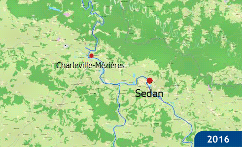
- The main towns along the waterways are added as waypoints. Even when zoomed out this will help for orientation. (Illustration 1)
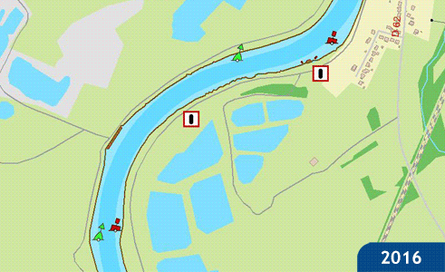
- The buoys are removed from the maps and added to the database changing the look of these markers from a single dot to the correct shape and color. (Illustration 2)
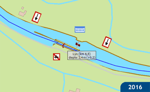
- Quite a few locks have been given a resize. This makes it possible to zoom in even further for extra detail. (Illustration 3)
- The waypoints for towns along the waterways are changed to rotating waypoints. When in 'course up' mode this will rotate the waypoints for better readability.
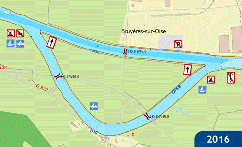
- The Oise has received a more detailed map. The fairway and the shallows are now clearly visible on the map. (Illustration 4)
- The channels which pass through a ridge have had locks added in which the direction of the symbol represents the direction of the slope.
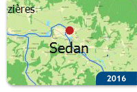 Illustration 1
|
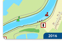 Illustration 2
|
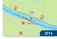 Illustration 3
|
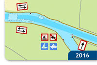
Illustration 4
|
|