|
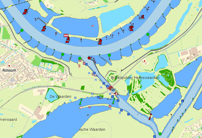
WinGPS ENC Viewer – NEW Specially for commercial shipping on inland waterways in Europe, there is now the S57 chart viewer for your laptop or on-board PC: WinGPS ENC Viewer. By loading the free iENC cards you can easily view the S57 charts, possibly combined with our own DKW charts. Free iENC The well-known S57 charts of the European inland waterways that are made available free of charge by the various governments, also called iENC, can be used for navigation in WinGPS Inland. Create a chart image to your wishes, using the S57 settings in WinGPS Inland. For example, you can combine DKW charts with the iENC for a more beautiful and quiet chart image (see image below). More information about ENC charts can be found here. |

Free download
|


