WinGPS Series
Route planner for open- and inland water.
Turn your laptop, onboard PC, tablet and/or smartphone into a complete navigational center with WinGPS. Based on the experience of thousands of WinGPS users and our extensive experience in the nautic world, we can provide a wide array of different navigationsoftware. Plot a route within seconds and download the latest chart updates. WinGPS will lead you past all obstructions along your route.
What do you need?
- WinGPS navigationsoftware.
- Digital water charts. For example, Stentecs DKW water charts.
- Windows laptop or onboard PC, or an Android smartphone or tablet.
- GPS receiver
Why choose WinGPS?
- Determine your position, plot a course and see previously sailed tracks.
- Current predictions for wind, rainfall, temperature, stream and tides.
- Connect your onboard instruments with WinGPS 5 or WinGPS Marine.
- Stentecs DKW water charts are updated regularly and can be installed on both systems with just 1 license.
- English speaking helpdesk.
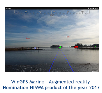
|
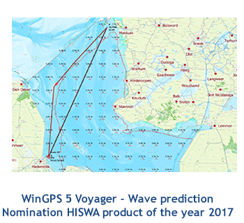
|
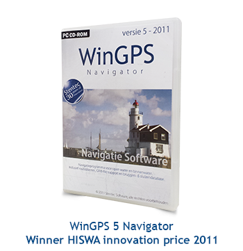
|
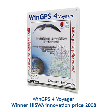
|
DKW water charts
Safely navigating the waters requires up-to-date water charts. Stentec develops their own digital chats which are based on information from the Dutch hydrographic services, Rijkswaterstaat, Imray and Delius Klasing, which makes it possible to update regularly. Download the latest updates just before you start your voyage to assure yourself of the most up-to-date charts!
The most popular charts are the DKW 1800 series. These charts are updated weekly with the latest BaZ (notices to mariners) information. The DKW German bight is treated to the same weekly update, and the DKW the Netherlands is updated bi-weekly.
Besides our DKW water charts it is also possible to install BSB charts into WinGPS. Along these charts are the well known NV Verlag charts and the (free) NOAA charts. Supplied with WinGPS are the online ESRI charts. These charts can only be used when you have a working internet connection and are not suitable for navigation. If you want to make your own charts you can use DKW Builder. With this program you can add scanned paper charts to WinGPS.



 We like to get in touch with you and give you personal advice or a free quotation.


